Categories
canada general moosling snow trip reports

Invasion of PLPP

More new trails! Peter Lougheed Provincial Park is down in K-Country, and has an absolute nest of cross-country ski trails set for classic skiing. And that’s probably why we’ve avoided it for so long. Because up until this winter, we’ve only ever had one pair of classic skis between us, and we’re both much more competent when it comes to skate skiing. Our classic skiing is slow and a little bit painful.

PLPP is a lovely spot though, and as we went to explore the trails it snowed and snowed and snowed all day. Not much in the way of spectacular views as a result, but lovely snow, and picturesque snow covered trees (that the Moosling wanted me to keep hitting the snow off).

The Moosling skied for the first 1.5km – which took close to an hour – but he managed to get up and down a lot of hills in that time, before he got too tired and distracted to ski, and was thrown in the Chariot.

We’d parked at the Boulton Creek parking lot, and ended up skiing a loop that consisted of Moraine, Fox Creek, Elk Pass, Tyrwhitt and Whiskey Jack trails – about 19km, with 438m of climbing. People kept asking us if we were going to the cabin, and telling us we would love the cabin, and then telling us we’d missed the turn-off to the cabin. Maybe we should go and ski out to stay in the Elk Lakes ACC cabin one of these days!

Then the day ended with a photo session in the backseat of the car: “I cheese a Mama!”

Oh, and in other exciting news, I finally got a pair of Julbo goggles – because whenever I try and ski with normal sunglass-type things on, they just fog up immediately. Then I end up trying to ski without anything, which is bad in terms of sun glare, and when it’s snowing it’s terrible in terms of snow pelting my eyeballs. I love them! And am kind of wondering if I can either use them for biking, or work out some similar kind of visor arrangement for biking with. Great field of vision, and very minimal fogging compared to sunglasses.

Categories
canada general snow

Boxing Day ski

Boxing Day dawned a bit grey and dreary, but at least it wasn’t terribly cold or windy, so we headed to Mount Shark for a ski. It was surprisingly quiet as we set off, with very few other cars or people to be seen.

Somehow I ended up being talked into skiing out to the Spray River bridge, despite being on my skate skis, which were totally unsuited to the trail. I think this largely ended up happening as I had no idea what I was agreeing to.

But it worked out to be a nice little 16km jaunt. As I wasn’t towing the Chariot, I was still feeling fresh though. So I convinced myself it would be a good idea to get Alex to drop me off at the Nordic Centre on the way back to Canmore so I could ski another 34km, thus bringing my total for the day up to 50km.

The only pitfall to this idea was that I decided to ski a whole lot of the harder trails I’d never skied before, so it took quite a while, and without a headlamp I had some fun making my way home in the dark. Nevertheless, the mission was a success! The crazy plan for January is to ski all of the Nordic Centre trails in a day. What could possibly go wrong?

Categories
bikes canada general moosling trip reports

Our first bike-packing adventure: Jumpingpound Ridge

We’d been hoping to get out on a few overnight trips this summer, but our options had been limited by the flooding in June. Thankfully Kananaskis had finally opened up a little, and so we set on Jumpingpound Ridge as a likely destination.

Here’s my faithful steed all kitted out for the ride. Thermarest strapped under saddle, all our sleeping gear strapped onto handlebars (with some dodgy home-made straps we knocked up). Extra water carrying capacity on front fork. We both wore hydrapacks to carry our spare clothes/extra layers plus a few other bits and pieces.

After unloading and packing at the Dawson Recreation Area, it was off down the Powderface Trail – closed to public vehicles at the moment, as it’s being used by Shell while their usual access road is still inaccessible post-flood. It made for a rather pleasant ride, as there were hardly any vehicles driving past and creating huge lung-coating dust clouds. As a result we could actually enjoy the wildflowers and small animals hopping about the place, squeaking furiously at us.

There were a few new bridges along the road though, it hadn’t escaped the flooding unscathed – here you can see the old bridge off to the right:

After our quiet gradual uphill along the road, we turned to the east, and started climbing up the Jumpingpound Summit Trail. It’s the shortest path to the summit, and also the easiest.

Nontheless, some pushing was required. The Moosling was booted out of the trailer and helped push Papa up the hill.

We had dinner on the ridge, just below the summit – just some pasta combined with dehydrated meals. Not fancy, but nice and warm.

And we did a little rock climbing.

As we ate, the weather had started to get a little wild. The wind was picking up, and there was rain threatening from the west. We beat a hasty retreat down into the trees, and set up camp in time to be rained on for a while. The shower was short-lived, and we emerged from our tent to a rainbow!

After a little exploration, and hanging-of-the-food-so-bears-don’t-eat-it-or-us, we retreated to the tent for the night and tried to get some sleep.

It wasn’t the best night we’ve had in the tent, but we were warm enough, and all got some sleep at least. The following morning dawned cool and sunny, and we emerged from our warm shelter and pushed back up to the trail.

From there it was just some picture-perfect ridge riding for a while…

And then a wonderfully fun descent, totally rideable for Alex with the trailer even, as we turned down the Jumpingpound Trail rather than riding up Cox Hill (as tempted as I was).

To regain the road we had to ford the mighty river, as the old pedestrian bridge was still out. Thankfully it wasn’t terribly mighty, and it was actually quite easy to ride across.

And from there it was largely downhill back to the car, hoorah!

Total trip distance: 33km (Day 1: 18km, Day 2: 15km)
Total elevation gain: 860m (807m of that on Day 1)
More details: We started and finished at the Dawson Recreation/Camping Area, where the Cox Hill trail joins the road. The road is currently closed to public vehicles beyond that point.

The bike-packing with toddler packing list:

Categories
canada general hiking trail running trip reports

Elbow Lake – Sheep River Valley – Rickert’s Pass – Mist Ridge

I was dropped off at the Elbow Lake trailhead, and shooed up the trail. The menfolk would be meandering their way up to the lake and back, while I ran the loop all the way from Elbow Lake, through the Sheep River Valley, up Rickert’s Pass and out along Mist Ridge. It was to be a little over 30km I thought, all through the Elbow-Sheep Wildland Provincial Park. I was hoping to do it in under four hours – although with the enormous climb up Rickert’s Pass in the middle of that, there was always the probability of taking longer.

Out past Elbow Lake the crowds thinned considerably. Once I turned off up towards the Sheep River valley, just before Tombstone campground, I only saw a couple of other people – so most of the time on the trail it was just me and the imaginary bears that were going to eat me.

The signage out there certainly isn’t fancy…

We’d read about the trail as a suggested mountain-bike route, but I think I’d be more inclined to bike up Mist Valley and back along Mist Ridge if I was on a bike. The trudge through Sheep River Valley and up Rickert’s Pass wouldn’t be any more fun on a bike than it was on foot (although it’s always nice to explore new terrain).

Dropping down into the Sheep River Valley

There were lots of streams to cross on the Sheep Trail. The first I tried to keep my feet dry, but after that I just gave in and waded straight through. Seven streams later, and the deepest had nearly reached my knees. Wet shoes and socks, but that was about it – and warm enough that they dried out quickly enough.

As you travel along the Sheep River Valley, you leave the Provincial Park and enter private land. The trail up to Rickert’s Pass is marked on many maps, but according to a sign posted now, the trail up to the pass from the Sheep River is now closed: “Private Property – Trail Closed – Travel restricted to main Sheep River Valley bottom trail as marked on map… Travel off main Sheep River Valley bottom trail by written permission only”. By the time I’d gotten that far, I wasn’t about to turn around, so I headed on up, wondering what had prompted the posting of the sign, and hoping I wasn’t about to be chased off by shotgun-wielding property owners.

After an interminable hill-slog, I reached Rickert’s Pass, and then set out along Mist Ridge (after briefly considering just throwing myself straight down the Mist Valley trail instead). I’d been dreaming of flat running along the ridgeline, but there was still plenty of up. But at least there were spectacular views to go with it.

Mist Ridge stretching out before me

After one final awful uphill, it was finally downhill to connect to the Mist Valley trail, where Alex was waiting for me on a bike, with a bottle full of water. I drank it down, but declined the offered bike – I had nearly made it by then, after all, even if it was looking like it would be a few kilometres longer than I’d imagined. A long few kilometres when you weren’t expecting it. But then, finally, back at the car, and done!

Elevation gain: 1200m
Distance: 34.5km
Time taken: 4hr20min
Location: Elbow-Sheep Wildland Provincial Park, Kananaskis Country, Alberta
Bears seen: 0
Bears imagined hiding in the undergrowth about to eat me:
(And yes, they’re all phone photos, I was not tempted to carry a heavy camera, strangely enough)

Categories
canada general hiking moosling trip reports

Hiking/scrambling Mount Lougheed

The plan to hike up Mount Lougheed was hatched after Alex stumbled across a few online trip reports that suggested it wasn’t necessary to do a terrifying ridge scramble to get to the summit. Indeed, it was possibly no more than a difficult hike.

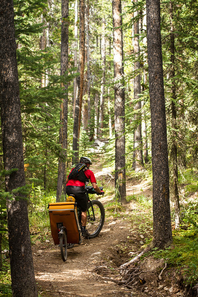
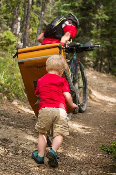
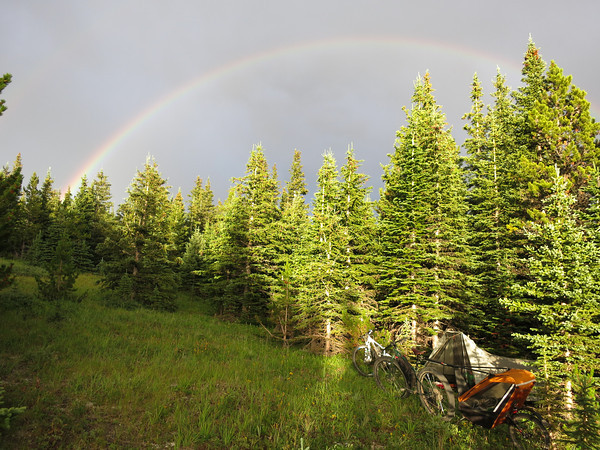
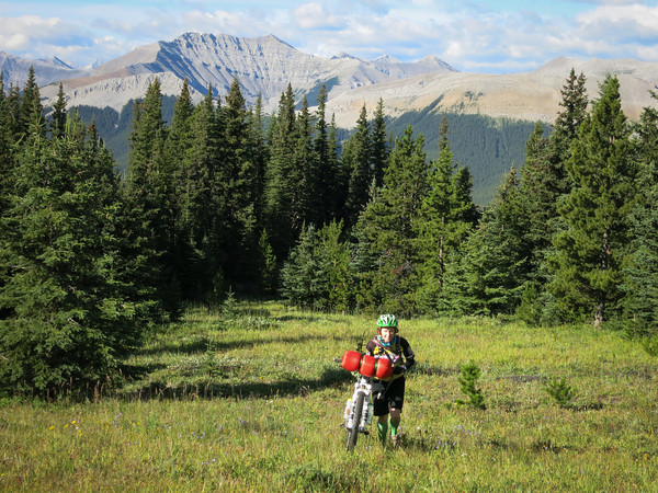
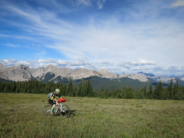
We set off early on Sunday morning, planning to beat the heat (with a forecast of 30oC and a possible afternoon thunderstorm). The route we followed was roughly as described by Bob Spirko and discussed in the Clubtread forums here. There’s nowhere handy to park, but there’s a well-defined trail most of the way up to Spencer Creek.

The well defined trail eventually peters out, and then there’s a little bush-bashing and random route-finding and you’re suddenly beneath the imposing back wall of Mount Sparrowhawk. From there, it’s a simple wander along, either in Spencer Creek or in the meadows just above it. The terrain along here was unexpectedly awesome, and a trip just to this point would still be worth doing – especially given that we had the entire place to ourselves on a busy long weekend in the middle of summer.

Looking up towards the scree slope and seemingly impassable rock bands

Towards the end of Spencer Creek – well, the end of its life as a creek – you’re faced with the realisation you’re right in the middle of a rather enormous and very impressive cirque. From there, it’s onwards and upwards on the enormous scree slope of doom.

A short break on a little grassy bench, after the first 100 metres or so of scree

The scree slope was fairly straightforward, with a nice waterfall to wander over and have a look at. We found a little pile of snow, desperately hanging on to life just nearby. Then, just as things were beginning to appear impossible, and we were faced with increasingly impassable looking rock bands, a cairn appeared high and to the right, just by a notch in a high rock band. Making your way up to the notch involves a very easy scramble, and a little walking on steep scree.

I made it to the notch carrying the Moosling in the Ergo, but Alex didn’t fancy the exposure, so I found a comfortable place for the menfolk to nap in the sun while I screed it to the summit.

Beyond the notch, I wandered straight up the scree, and then up a weakness in the white rock bands. With hindsight, or an accurate trail description on me, I would have gone further to the right and gained a nice scree spur to follow to the summit ridge. Instead I was stuck on my slightly spicy weakness, hoping it wouldn’t get any less weak. When I hit the summit ridge, it was a tiny narrow thing too, with the huge wall of Lougheed 1 facing me on one side, and the dominating back face of Mount Sparrowhawk on the other – it was a very intimidating view, and I was half-inclined to high-tail it back down the mountain from there.

Where I arrived at the summit ridge – not knife-edge, but I certainly wasn’t dancing about up there – nice view out to Spray Lakes though

The false summit

But the real summit only seemed to be about a hundred metres away, so I carefully made my way across. Once there, I could see that I’d just reached the top of the scree spur, and the actual summit was just a short walk a little further along. I was just about on my one hour turn around time, but enough time to reach the summit, sign the log, take some photos and head back downhill again.

Aha, that one’s the real summit.

Views of Lougheed 1 from the summit (the summit is Lougheed 2). Some do the scramble between these two peaks – I find even the idea a little terrifying – look at that ridge!

You can see Canmore from the summit… as well as Wind Ridge, Pigeon Mountain etc

I was tempted to try and find the easy way down, but I didn’t want to risk getting myself in the wrong place and getting cliffed out, so it was back down my rocky weakness, to the happy scree slope, into the notch, and back to the napping menfolk in the sun.

The way down from the summit, back along the ridge (with Mount Sparrowhawk lurking off to the left, as it was inclined to do)

Obligatory summit self-portrait

There’s no nap like a mountain scree-slope nap

The rest of the scree slope down was a little interminable after that. My legs had already had enough down-climbing, and the scree was often unforgiving rather than enjoyably surfable. The Moosling did find scree surfing a fairly hilarious activity, and spent a lot of time laughing at us on the descent. Taking off shoes and dabbling our feet in the creek at the bottom of the slope was a blessed relief afterwards.

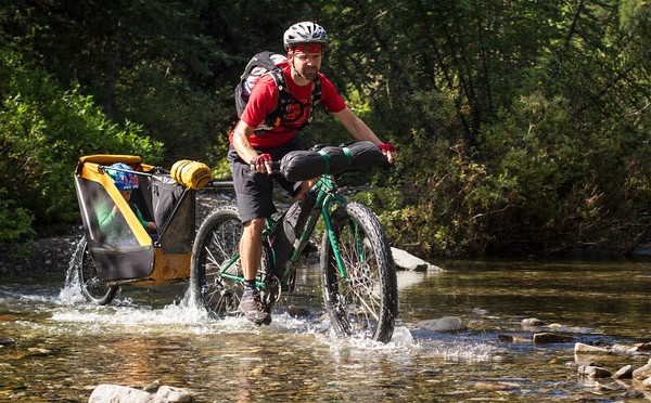
Sans pants creeking – the safest option when a toddler is involved

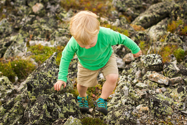
He thought the thick moss combined with the creek were pretty much the most awesome things ever (with the-vast-array-of-rocks-available-on-a-scree-slope in a marginal second place)

Return distance: 13.6km
Elevation gain: 1515m
Mount Lougheed (Lougheed II) summit: 3107m
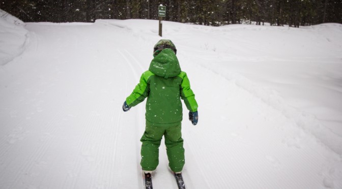
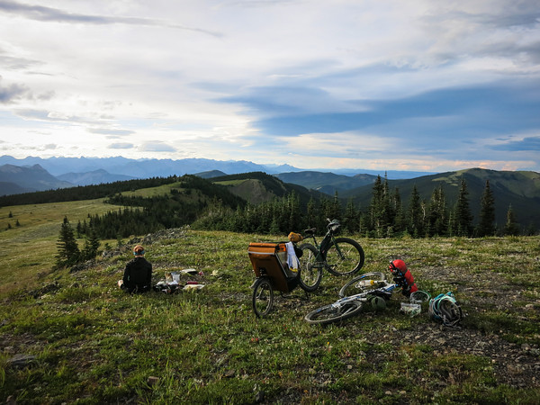
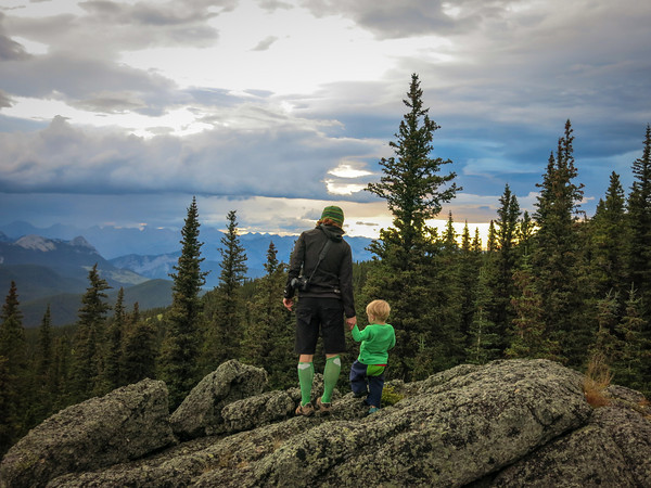
Toddler rating: The Moosling was happily hiking some of the lower trail through the trees (with some hand holding help needed for steep or rocky bits), wandering along in the meadows, and even had a go at hiking up and down in the scree. Plenty of rocks to throw and a couple of streams to play in, and he was happy the whole day. He’s still travelling in the Ergo when he’s not walking under his own steam, and easily falls asleep back there.