Categories
bikes general moosling travel trip reports

Riding bikes in Oregon – Part 3 (The rest)

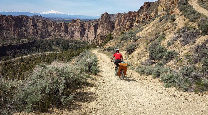
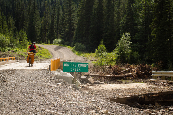
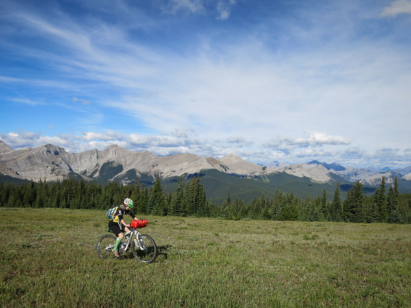
Next up after Smith Rock was Peterson’s Ridge, near a little town called Sisters. After the Three Sisters series of volcanoes nearby. Which begs the questions “Why is it always Three Sisters, not Three Brothers?” But google confirms that it is sometimes Three Brothers, just less often.

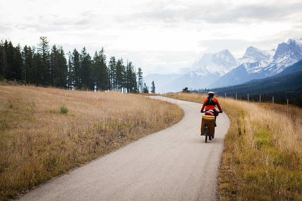
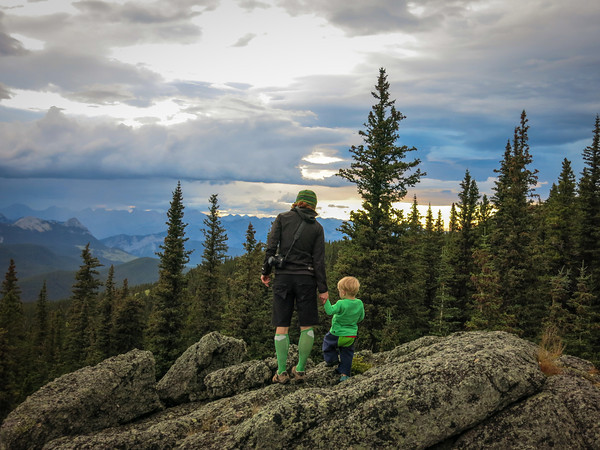
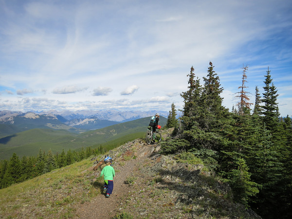
We’d been told Peterson’s Ridge was a must-do ride, with great views. I’d vaguely assumed it must be on a ridge, and so would have awesome views. This was all lies and trickery. The trails was very nearly entirely flat, and was 95% in the forest, with views of nothing but trees. Pictured below is the “view” at the “summit”.

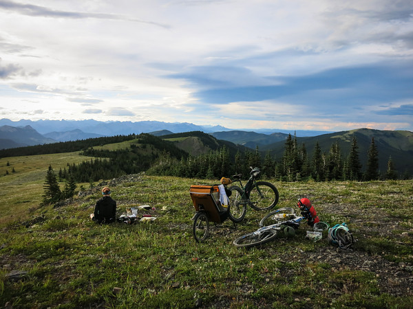
It is quite a nice view. The snow-capped volcanoes are very pretty. But we had to stop and look at it, as you could only see it for a few metres. On the plus side, there was a picnic table and a chipmunk there, and a big rock to sit on so as to promote greater enjoyment of the View.

It was an ok trail. Perfectly fine. But just don’t go into it expecting a ridge, or great views, or particularly thrilling riding.

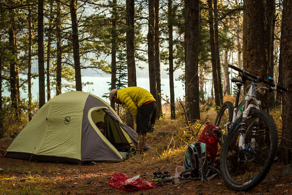
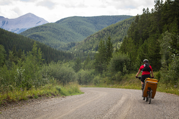
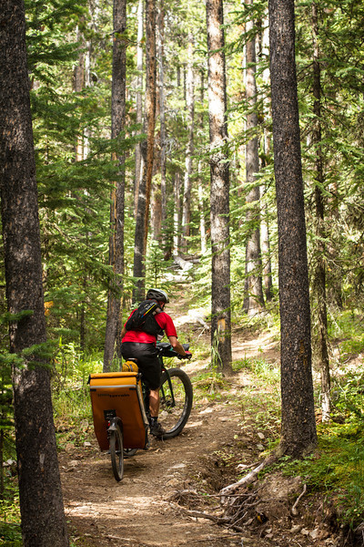
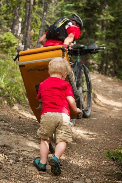
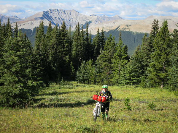
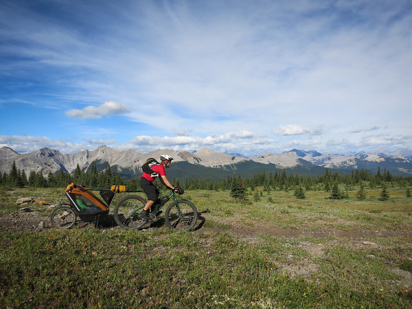
Next up, I convinced Alex that we should go and ride Mrazek. And that was fun riding. Gradual uphill over many kilometres. Still not much in the way of views, although it felt like there really should be, and nearly would be at a few points. Just one really technical rocky section. Otherwise it was very much like a flatter version of Frisbee Ridge in Revelstoke. A nice consistent climb uphill, but then fantastic fun once you turn around and point your bike in the other direction – the sort of trail guaranteed to have Finn whooping and hollering at Alex “Faster Papa, WHEEEE!”.

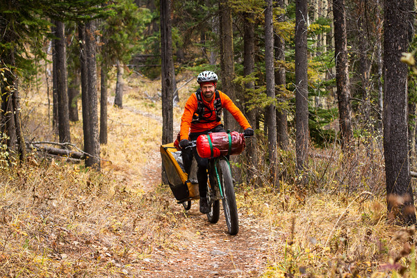
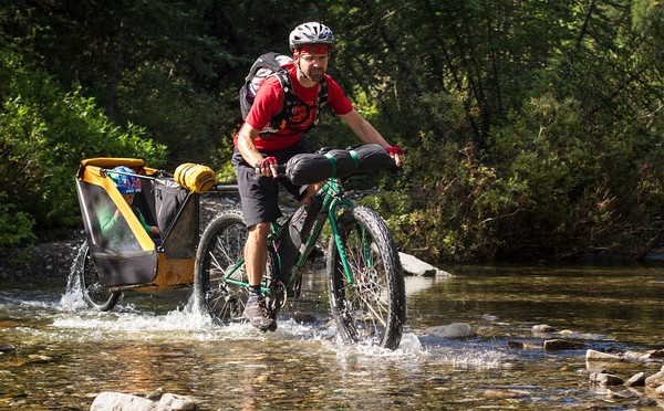
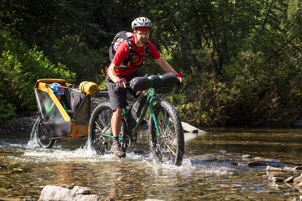
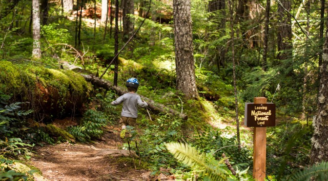
The final big ride was the McKenzie River Trail. We weren’t sure if the single trailer would make it over some of the technical riding higher up on the trail, so we decided to do an out and back ride starting from the lowest point of the trail.

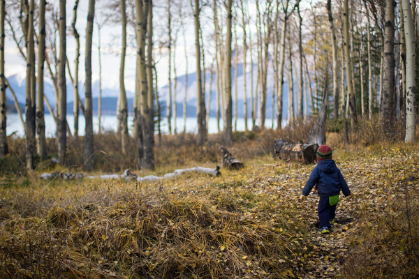
And for all that we were following a river upstream, it really didn’t feel like we were going uphill at all. The trail meandered through ferns and mossy trees, and the river burbled happily.

Everything was green.

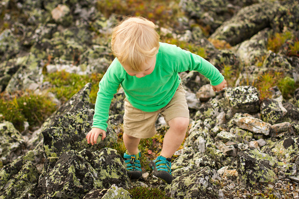
We even released the Kraken from his trailer to go for a run.

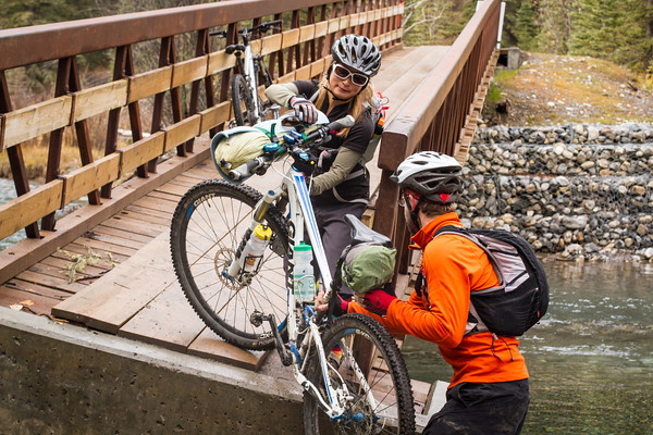
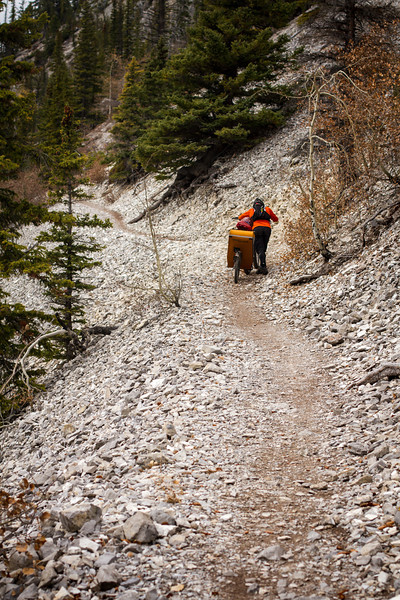
Crossing all of the trail bridges got a little tiresome though. And so, when about 10km along, we reached one where the trailer would not fit, and instead jammed, we were pretty happy to turn around and head back.

I’m sure the upper part of this trail might be really fun, we hardly rode any of it. And it was quite pretty. But just a little boring (sorry McKenzie River trail).

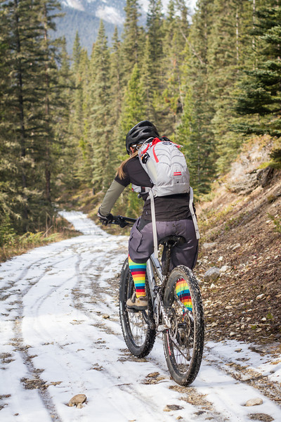
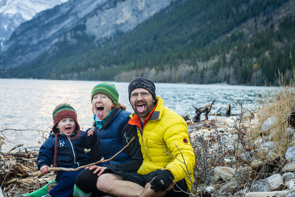
And so ended our Oregon bike adventure. Well nearly. I went out alone the next morning on the local Bend trails and rode a really fun and fast loop, before jumping into the car and driving until we got to Canada. We camped the night; the next morning it started to rain on us, and by the time we got back to Canmore, our bikes were coated in ice, our deck had a foot of fresh snow on it, and biking in sunny 25oC weather was nothing but a distant memory.

Categories
bikes general moosling travel trip reports

Riding Bikes in Oregon – Part 2 (Smith Rock)

Turning off the highway and driving the final few kilometres to Smith Rock began an exercise in longing for my climbing gear that lasted until I began to realise that it was actually pretty fun to be riding here too. Smith Rock is one of THE North American rock climbing destinations. Birthplace of sport climbing? Maybe. Spectacular rock and views? Definitely.

The boy rode his bike for the first few hundred metres, then decided he’d had enough, and for the rest of the day it was just helping Alex with his resistance training.

Alex tried to sell me on the idea of starting off with an easy loop around the river trail, but I wasn’t having any of it, so instead we immediately started heading uphill, where the views are. Although of course this did involve initially dropping down from the parking lot, to the river, and then having to start the climb from the valley bottom.

We set out with a route description from an old mountain biking book. This book suggested that the trail we were headed for, Burma Road, was a pretty burly climb. Thus far, nothing we’d rode in Bend seemed to involve any climbing at all. So we may have underestimated this threat. It was indeed a burly climb, particularly with a singletrailer. Even without – there were pitches of loose, steep trail that weren’t easily rideable.

After that, things got a little saner though. We’d gained a lot of elevation already, and were spat out onto some doubletrack that was a more sensible gradient (something between the climb to the Pass in Canmore, with occasional touches of the Quaite Valley trail thrown in for good measure).

And then views! For some reason Alex was feeling a little tired by now, and felt like sitting down in the shade and eating some lunch.

From this point the route in the book described dropping down on fire road for no reason before climbing back up more fire road to reach Grey Butte. Alex was not enthusiastic about this option, so after lunch I did some scouting, and found some singletrack headed towards Grey Butte that was deemed acceptably not-uphill.

It turned out to be a great choice. In fact the only flaw to this piece of trail was that it was hard to avoid looking at the views. And when you did look at the views, it was hard to avoid falling down the side of the mountain. Aside from that, it was lovely. We turned around once we reached the butte though, rather than trying to ride around or up it, and headed back towards Smith Rock. Where there was more difficulty trying to look simultaneously at the view, and the narrow strip of dirt we were trying to balance on.

From here it was all smooth sailing back to the car, except for the one steep section of Burma Road, where the boy was booted out of the singletrailer. I walked him down the hill in stages, while Alex man-handled his bike with empty singletrailer down the hill.

But after ferrying my bike ahead through one piece of trail, I stopped after hearing an odd noise. After looking around, I realised the source of it was a little rattle snake sitting on some rocks just in front of me, rattling in a cranky kind of fashion. He was close enough for me to reach out and touch, and seemed so small as to be adorable rather than threatening (at least compared to Australian snakes I’m used to), but I backed away anyway, and advised Alex he’d be better off taking the high route at this point, as the low route had an irritated rattle snake on it.

And then it was time for icecream!

Distance: 17km return
Elevation gain: 660m

Categories
bikes general moosling travel trip reports

Riding bikes in Bend, Oregon – Part 1

The adventure began not with a bike ride, but with a ridiculously long car drive, from Alberta to British Columbia, through Montana, and on to Idaho and then Washington.

There we stopped for the first night in Spokane, and the boy roamed the streets on his strider bike.

I arrived in Bend the next day in a haze of sleep deprivation, as it started to precipitate on us in a manner suspiciously similar to snow, and we ran to hide in the REI store. And then realised that releasing a recently car-bound small person into an exciting store was a terrible idea. Attempting to un-release the kraken proved challenging, but we managed to escape the store with minimum destruction and with some useful maps of bike trails.

The next plan was to work out where to stay. We didn’t want to go far, and the weather looked unpleasant. After dithering about on airbnb, we settled on Mill Inn, which had the combined benefits of bike storage, available rooms, and being walking distance from both the REI district (or Old Mill District, as it calls itself) and downtown Bend. Both of which places looked like they were straight out of a modern Urban Planning textbook (pedestrian oriented design! roundabouts! place-making! alternative traffic calming measures!).

The first morning of riding turned out rather disastrously, as I still hadn’t caught up on sleep, and was having micro-naps on my bike. This doesn’t work in lava rock gardens, and so I was returned to the Inn for more napping, while the menfolk rode some more, ate icecreams, and avoided painful death at the beaks of numerous Canada Geese.

The following morning began with a run up Pilot Butte, after which I started to feel a little more myself, and was followed up with a move to Tumalo State Forest campground, and a cruise around the Phil’s Trail network.

At the campground we’d opted to stay in a yurt, despite having our tent with us. I had strong and conflicted feelings about this. The yurt was expensive! But so convenient and comfortable! But does this mean I’ve become old and bourgeois and too good for a tent? Who did I think I was? I felt a little better when I reminded myself that there was no running water in the yurt, and it only had plastic windows, so really it was just a large and comfortable tent.

On the plus side, the boy absolutely mastered the art of sleeping in a sleeping bag while staying in the yurt, possibly helped by not lying in a tent right next to me in my sleeping bag, which is apparently always much warmer and more comfortable than his.

And so we’d settled into the yurt, ridden a few easier trails near town, eaten icecream, and taught the boy to refer to Canada Geese as Evil Geese. The weather forecast was looking better and better, and things seemed to be going well. To Be Continued…

Categories
bikes canada general moosling trip reports

Bikepacking Canmore to Lake Minnewanka (via Goat Creek)

“We should bikepack Lake Minnewanka this weekend.”
“Going there from home, via Goat Creek?”
“Yes!!”

And so was our most recent adventure planned.

We had company on the first leg, biking up to the pass from Canmore, and then dropping down the Goat Creek trail to Banff. We weren’t expecting the snow though! I always forget how this little valley is so much colder and darker than our big wide valley next door.

Following the floods, one of the bridges is still a little bit out. Definitely not open for business. Could be that it’s possible to cross the river there anyway though.

We all stopped for hot chocolate and coffee in Banff, warming up a little after the journey through the freezing cold valley of doom. Then we said goodbye to Tomo, and biked onwards towards Lake Minnewanka.

The sun was out, but the temperature hovered around 12oC. Luckily we found a hill to ride up. Alex kicked the Moosling out of the trailer, and managed to ride up the hill while I did some high quality toddler coaxing.

Most of the time he just zoomed along with arms outstretched, “Buzz Eye-ear to the rescue! Kssssshhhhhhhhhh!”

The Lake Minnewanka trail is in perfect condition at the moment though, thoroughly recommended!

We biked along to LM8 (the campground 8km along, imaginatively named), passing Joel and Kristy shortly before arrival. They were hiking in to camp with us – they had brought the stove and hatchett, we had the ingredients for s’mores.

We pulled into camp around 5pm, and got things set up. This time round we opted for the slightly heavier, less roomy, but warmer, Big Agnes tent – the old faithful who’d seen us all the way around our European cycle tour. We were also carrying sleeping bags instead of the down quilt – the quilt is great, but just not warm enough for freezing temperatures when shared with a toddler.

Following dinner there were some high quality family photos taken on the shore, and then we retired to the fire pit for our first attempt at s’mores-making (s’mores = graham crackers, toasted marshmallow and chocolate). After a couple of efforts, I’m willing to accept it’s a reasonable idea, and potentially very tasty. I feel like my chocolate should have been a little more melted though, and that perhaps I need the guidance of a more experienced Canadian s’mores-maker.

It dawned cold and frosty on Sunday morning.

Porridge was eaten, morning light was admired, and camp was dismantled.

By the time we got on the bikes to hit the trail homewards, I was feeling thoroughly chilled to the bone. Even the climb over the hill at the point didn’t really warm me up.

Alex seemed nice and warm though, with 15kg fast asleep in the singletrailer, he got a nice long hill push in.

Once we hit the Minnewanka parking lot, it was all smooth sailing on sealed surfaces. Out on the Minnewanka loop road, then onto the Legacy trail for a quick pedal back to Canmore. We did consider the option of riding back along Rundle Riverside, but then remembered how rocky, rooty and rough it is, and how muddy it would probably be, and thought better of it.

Distance: 85km (Day 1: 50.5km, Day 2: 34.5)
Elevation gain: 1219m (Day 1: 1078m, Day 2: 241m)
Packing List: Was as per here, but with the Big Agnes Seedhouse 2 tent, and two separate sleeping bags for us instead of the down quilt. No stove/fuel, no insect repellant. The smaller tent was great, as there were no gaping holes developing between the thermarests. The toddler did spend most of the night inside my sleeping bag, but at least we were both warm.

Day One (click to embiggen)

Day Two (click to embiggen)

Categories
bikes canada general moosling trip reports

Our first bike-packing adventure: Jumpingpound Ridge

We’d been hoping to get out on a few overnight trips this summer, but our options had been limited by the flooding in June. Thankfully Kananaskis had finally opened up a little, and so we set on Jumpingpound Ridge as a likely destination.

Here’s my faithful steed all kitted out for the ride. Thermarest strapped under saddle, all our sleeping gear strapped onto handlebars (with some dodgy home-made straps we knocked up). Extra water carrying capacity on front fork. We both wore hydrapacks to carry our spare clothes/extra layers plus a few other bits and pieces.

After unloading and packing at the Dawson Recreation Area, it was off down the Powderface Trail – closed to public vehicles at the moment, as it’s being used by Shell while their usual access road is still inaccessible post-flood. It made for a rather pleasant ride, as there were hardly any vehicles driving past and creating huge lung-coating dust clouds. As a result we could actually enjoy the wildflowers and small animals hopping about the place, squeaking furiously at us.

There were a few new bridges along the road though, it hadn’t escaped the flooding unscathed – here you can see the old bridge off to the right:

After our quiet gradual uphill along the road, we turned to the east, and started climbing up the Jumpingpound Summit Trail. It’s the shortest path to the summit, and also the easiest.

Nontheless, some pushing was required. The Moosling was booted out of the trailer and helped push Papa up the hill.

We had dinner on the ridge, just below the summit – just some pasta combined with dehydrated meals. Not fancy, but nice and warm.

And we did a little rock climbing.

As we ate, the weather had started to get a little wild. The wind was picking up, and there was rain threatening from the west. We beat a hasty retreat down into the trees, and set up camp in time to be rained on for a while. The shower was short-lived, and we emerged from our tent to a rainbow!

After a little exploration, and hanging-of-the-food-so-bears-don’t-eat-it-or-us, we retreated to the tent for the night and tried to get some sleep.

It wasn’t the best night we’ve had in the tent, but we were warm enough, and all got some sleep at least. The following morning dawned cool and sunny, and we emerged from our warm shelter and pushed back up to the trail.

From there it was just some picture-perfect ridge riding for a while…

And then a wonderfully fun descent, totally rideable for Alex with the trailer even, as we turned down the Jumpingpound Trail rather than riding up Cox Hill (as tempted as I was).

To regain the road we had to ford the mighty river, as the old pedestrian bridge was still out. Thankfully it wasn’t terribly mighty, and it was actually quite easy to ride across.

And from there it was largely downhill back to the car, hoorah!

Total trip distance: 33km (Day 1: 18km, Day 2: 15km)
Total elevation gain: 860m (807m of that on Day 1)
More details: We started and finished at the Dawson Recreation/Camping Area, where the Cox Hill trail joins the road. The road is currently closed to public vehicles beyond that point.

The bike-packing with toddler packing list: