“We should bikepack Lake Minnewanka this weekend.”
“Going there from home, via Goat Creek?”
“Yes!!”
And so was our most recent adventure planned.
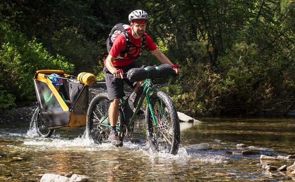
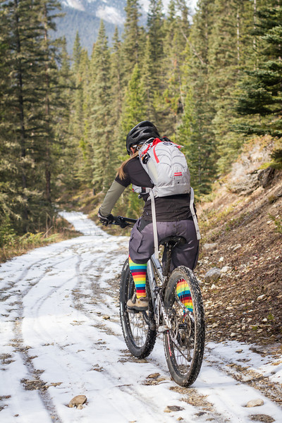
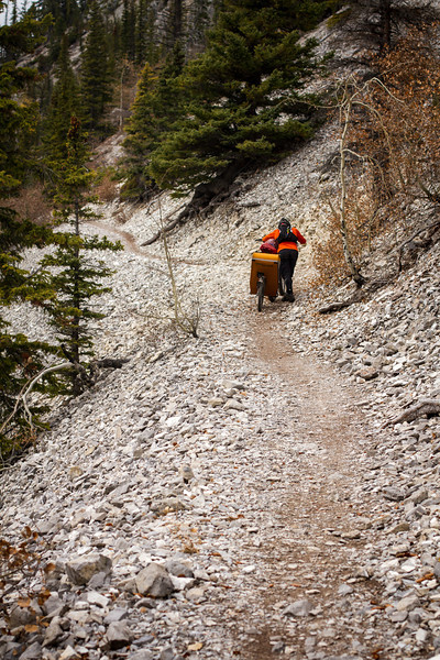
We had company on the first leg, biking up to the pass from Canmore, and then dropping down the Goat Creek trail to Banff. We weren’t expecting the snow though! I always forget how this little valley is so much colder and darker than our big wide valley next door.
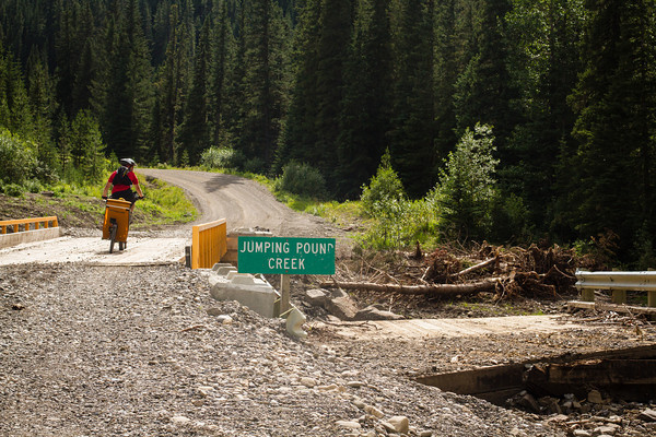
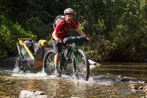
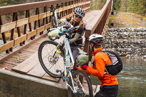
Following the floods, one of the bridges is still a little bit out. Definitely not open for business. Could be that it’s possible to cross the river there anyway though.
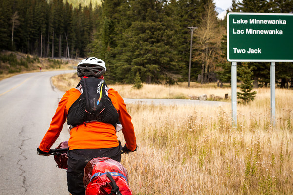
We all stopped for hot chocolate and coffee in Banff, warming up a little after the journey through the freezing cold valley of doom. Then we said goodbye to Tomo, and biked onwards towards Lake Minnewanka.
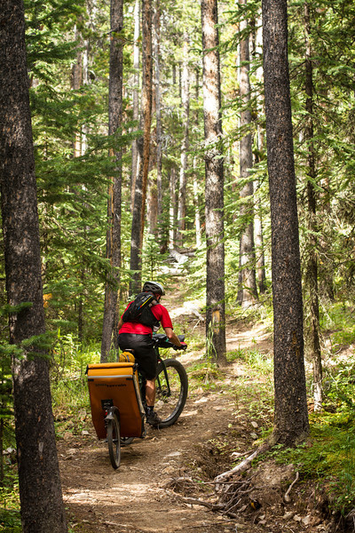
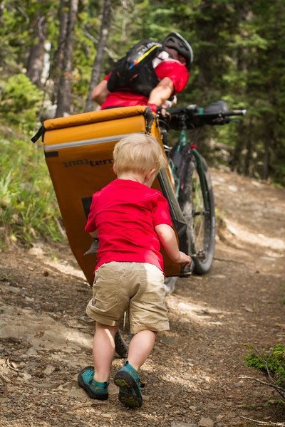
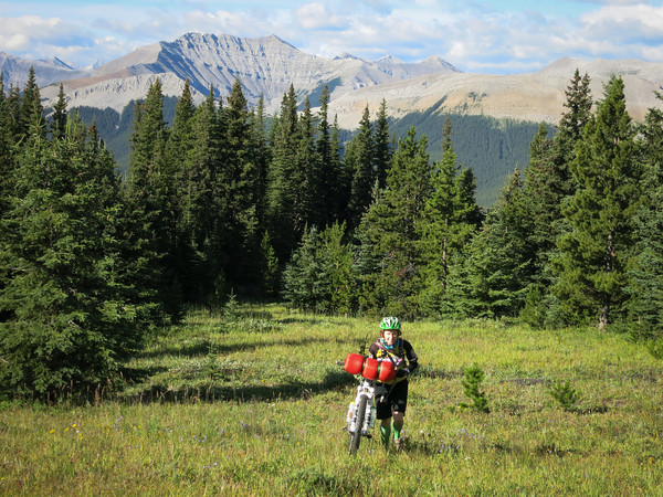
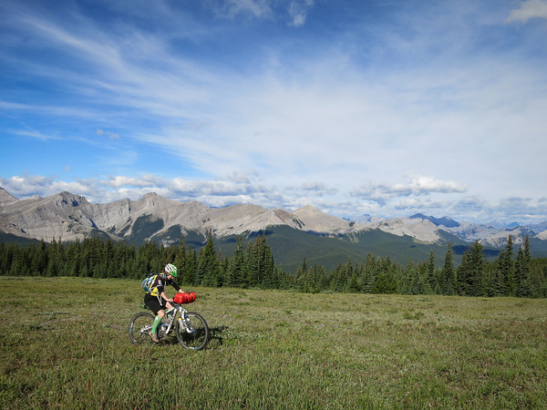
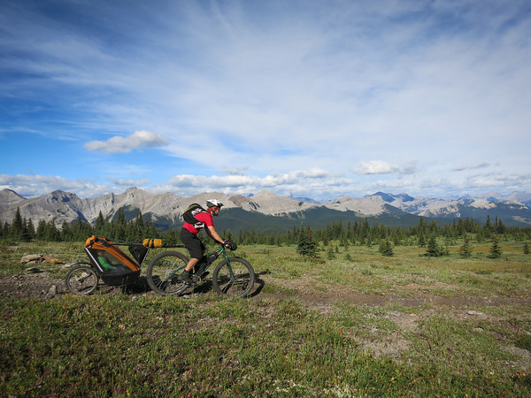
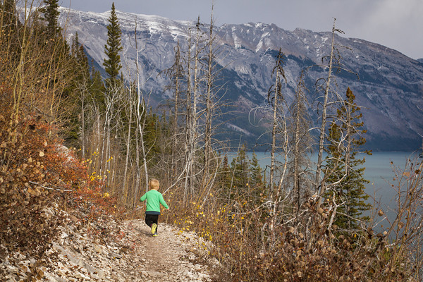
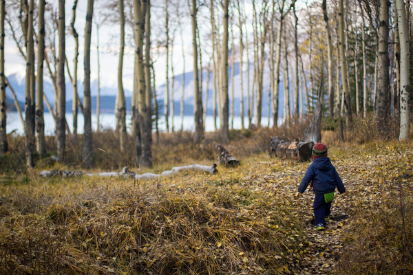
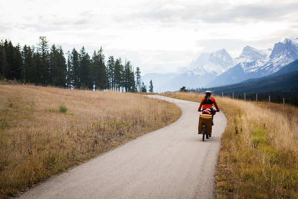
The sun was out, but the temperature hovered around 12oC. Luckily we found a hill to ride up. Alex kicked the Moosling out of the trailer, and managed to ride up the hill while I did some high quality toddler coaxing.
Most of the time he just zoomed along with arms outstretched, “Buzz Eye-ear to the rescue! Kssssshhhhhhhhhh!”
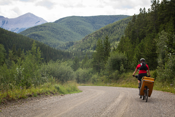
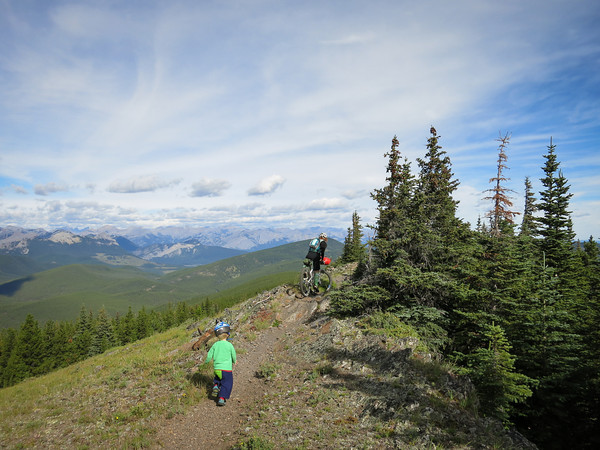
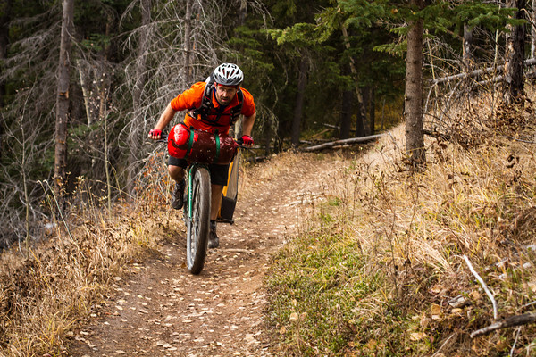
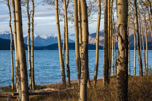
The Lake Minnewanka trail is in perfect condition at the moment though, thoroughly recommended!
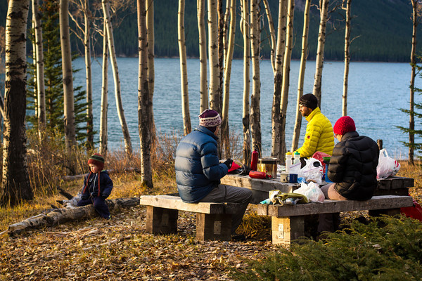
We biked along to LM8 (the campground 8km along, imaginatively named), passing Joel and Kristy shortly before arrival. They were hiking in to camp with us – they had brought the stove and hatchett, we had the ingredients for s’mores.
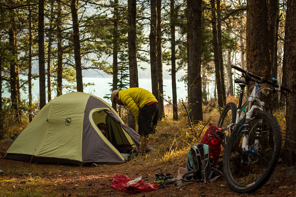
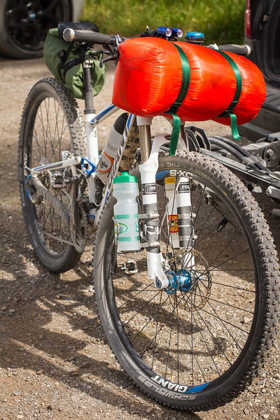
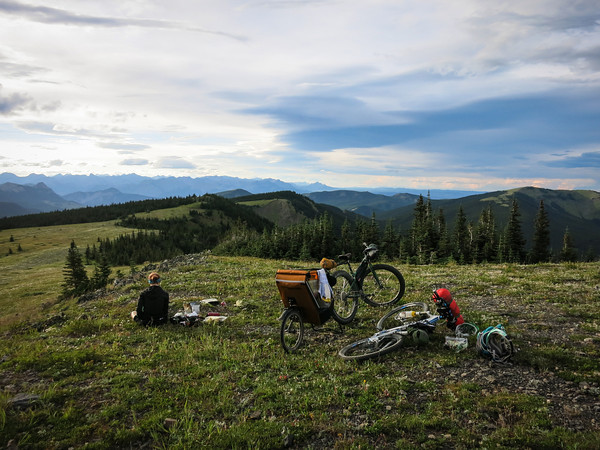
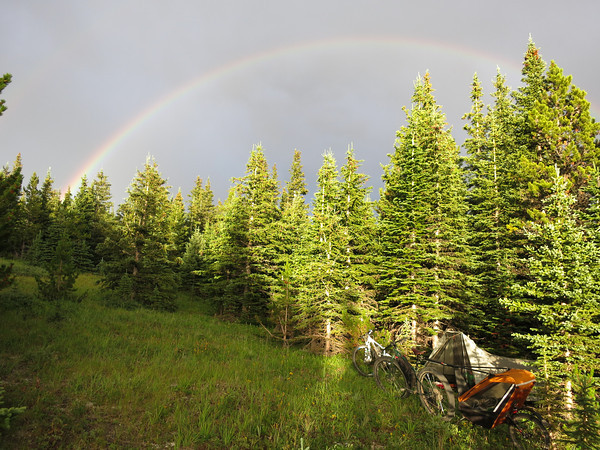
We pulled into camp around 5pm, and got things set up. This time round we opted for the slightly heavier, less roomy, but warmer, Big Agnes tent – the old faithful who’d seen us all the way around our European cycle tour. We were also carrying sleeping bags instead of the down quilt – the quilt is great, but just not warm enough for freezing temperatures when shared with a toddler.
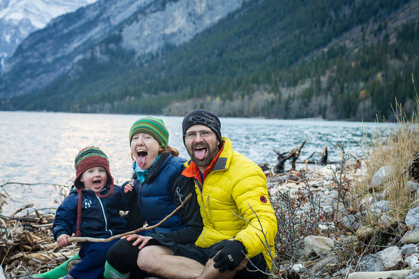
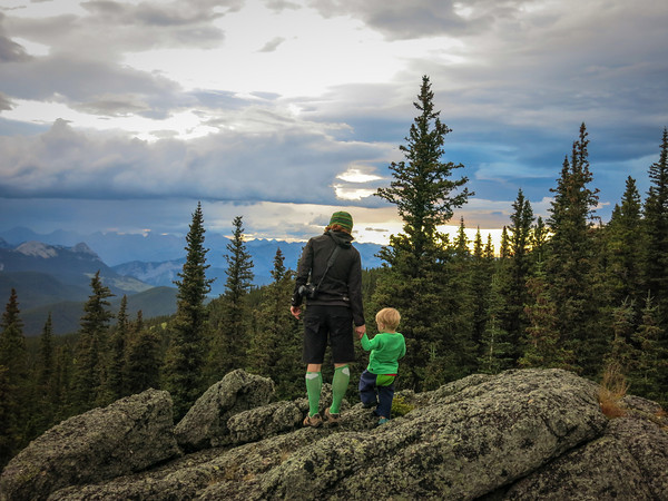
Following dinner there were some high quality family photos taken on the shore, and then we retired to the fire pit for our first attempt at s’mores-making (s’mores = graham crackers, toasted marshmallow and chocolate). After a couple of efforts, I’m willing to accept it’s a reasonable idea, and potentially very tasty. I feel like my chocolate should have been a little more melted though, and that perhaps I need the guidance of a more experienced Canadian s’mores-maker.
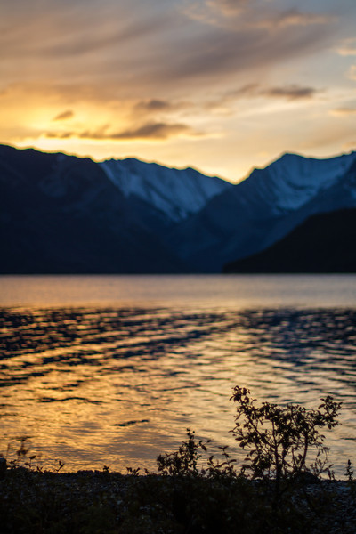
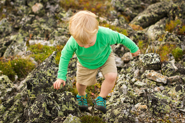
It dawned cold and frosty on Sunday morning.
Porridge was eaten, morning light was admired, and camp was dismantled.
By the time we got on the bikes to hit the trail homewards, I was feeling thoroughly chilled to the bone. Even the climb over the hill at the point didn’t really warm me up.
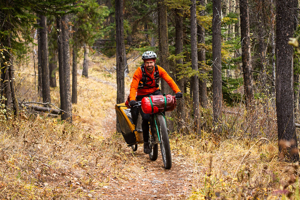
Alex seemed nice and warm though, with 15kg fast asleep in the singletrailer, he got a nice long hill push in.
Once we hit the Minnewanka parking lot, it was all smooth sailing on sealed surfaces. Out on the Minnewanka loop road, then onto the Legacy trail for a quick pedal back to Canmore. We did consider the option of riding back along Rundle Riverside, but then remembered how rocky, rooty and rough it is, and how muddy it would probably be, and thought better of it.
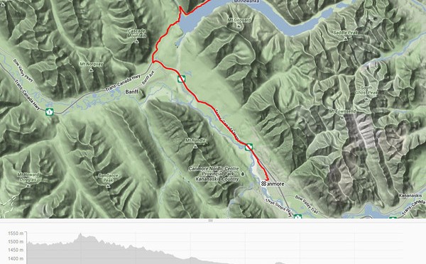
Distance: 85km (Day 1: 50.5km, Day 2: 34.5)
Elevation gain: 1219m (Day 1: 1078m, Day 2: 241m)
Packing List: Was as per here, but with the Big Agnes Seedhouse 2 tent, and two separate sleeping bags for us instead of the down quilt. No stove/fuel, no insect repellant. The smaller tent was great, as there were no gaping holes developing between the thermarests. The toddler did spend most of the night inside my sleeping bag, but at least we were both warm.