Categories
bikes general moosling travel trip reports

Scotland: The Isle of Rum

The rain has stopped. The air is still and moist, and the midges are swarming.

Our wet tent packed away, we cycle down to the ferry terminal. Onboard the ferry, bikes are lashed to a railing, and we trudge upstairs to break into our Nutella for a civilised breakfast at an actual table.

The ferry takes us to Mallaig. We aren’t sure where we’re going next, it will depend on where we can get to. Alex finds a ferry going to Rum, but we’ll have to cycle down the coast a little to get to it, it leaves from Arisaig.

There’s time to do a quick grocery shop, then we hit the road. We opt for the A-road, which is wide and quiet with a good shoulder. The B-road would be more scenic, but there isn’t time. In Arisaig it’s straight to the ferry terminal, buy one-way tickets to the Isle of Rum, then jump on the ferry.

Unlike this morning, this one is not so much a ferry as a small sight-seeing boat. It carries us, some daytrippers, and some locals off for a few days of hunting. Our bikes are dismantled and tied to the roof, and we sit watching the view from the back of the boat as we bounce along past seals and seabirds, until Finn falls asleep on my lap.

We pull up at the dock in Kinloch, Rum. The large jolly tweed-wearing Scotsmen with their large jolly Scots sons disembark first, along with their gun cases. The daytrippers dissipate quickly. We’re left alone on the dock, reassembling bikes.

Into Kinloch, we wander past a small field with horses – Finn wants to know why they don’t have horns on their heads. He’s baffled by my inability to keep a straight face, as I attempt to explain to him the difference between unicorns and horses.

The Isle of Rum is one of the Small Isles, and its thirty or so residents all live in Kinloch. It’s been inhabited since around 8000BC, with neolithic folks, early Christians, Norse, various Scots clans, and finally crofters. The crofters lived here until 1826 when they were largely packed off and sent to Cape Breton, Nova Scotia so a man could turn the island into a sheep farm. That failed miserably, and the island was eventually sold to the Marquess of Salisbury who converted it into a sporting estate, which eventually had a castle built on it (fourteen under-gardeners worked on the grounds and were paid extra to wear kilts). It was finally sold to Scottish Natural Heritage, to become a national nature reserve.

A very wet nature reserve, with an average annual rainfall of 120 inches.

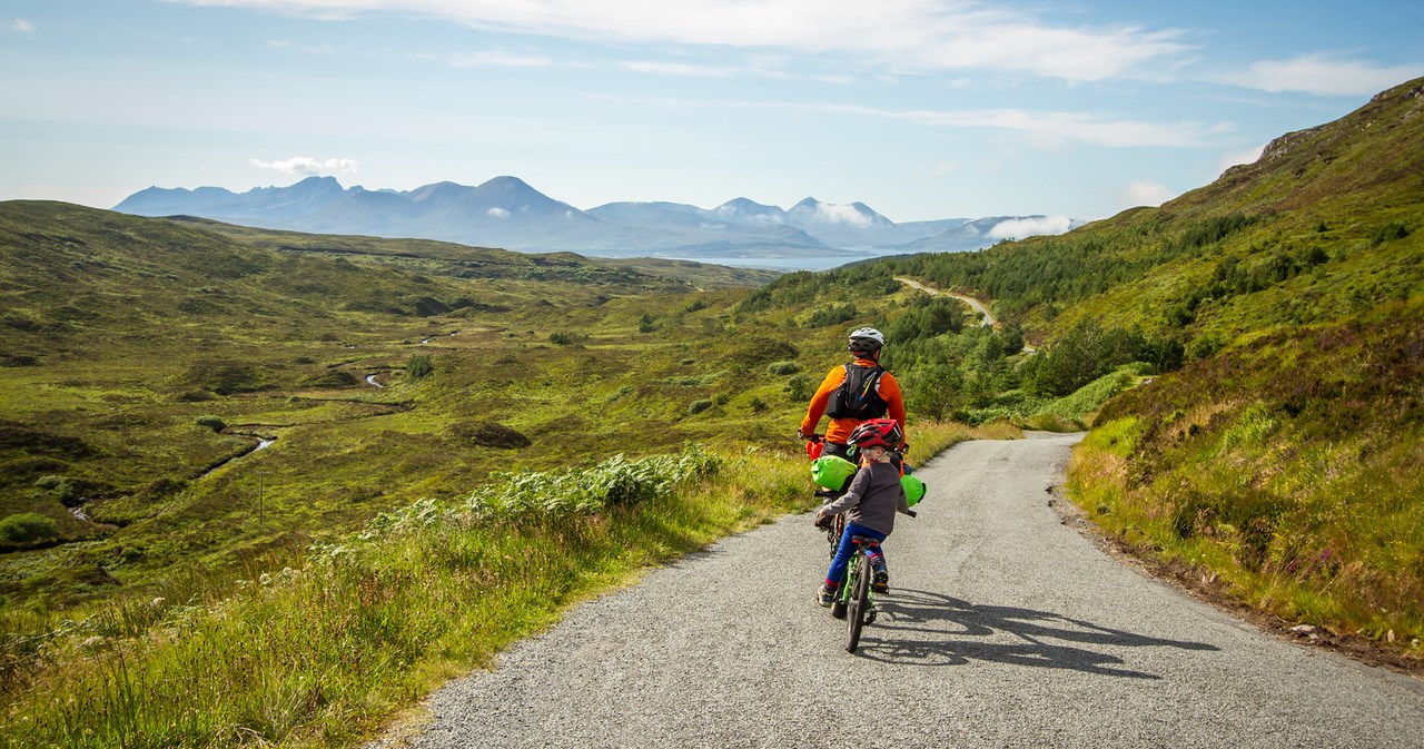
Riding out of Kinloch, we don’t see anyone else for the next 24 hours. It’s wonderfully deserted. We pedal first along the dirt road and then start pushing our bikes up the steep and boggy path. The plan had been to see if we could get to Dibidil Bothy. It starts to look unlikely. Without Finn, we would have more of a chance, but his trail-a-bike makes everything harder, and Finn himself is very mistrustful of this boggy ground after the incident in Glen Affric. It’s slow going, and very wet.

We watch a group of red deer, as we make our way up to the saddle that marks the middle of the Isle. From here we can see out to the ocean on both sides of the island, and decide it’s as good a place to camp as any. It’s cloudy, with patches of rain, but there are glimpses of blue sky around. The wind is light, and the weather forecast is good.

We set up camp, cook dinner, and get Finn to sleep. I’ve been experimenting with trying to manage without a sleeping mat, but find I always get too cold after a couple of hours. I’m listening to the audiobook of Trainspotting, by Irvine Welsh. It’s really well read, and I’m enjoying the story, but it feels out of place in our current surrounds.

Then the wind picks up and changes direction. It starts to rain. I start having flashbacks to reading tent reviews before buying our Big Agnes Copper Spur UL3 tent – it performs poorly in windy conditions. This is confirmed as Alex and I take it in turns to sit bracing the side pole that’s dipping and bowing, coming dangerously close to snapping. On our long European cycle tour, we had a Big Agnes Seedhouse SL2 tent that had a few poles snap. They’re great tents, but the lightweight poles come at a price.

Around midnight a few pegs pull loose and the tent starts snapping wildly in the wind. Alex lunges out into the rain and starts trying to stabilise it with rocks. We debate the merits of re-orienting the tent where we are but decide the wind is too strong and doesn’t show any sign of abating. Instead, we make the call to relocate. I sit up, bracing the tent, as Alex scouts out a better spot. Confirmed – we can move to the lee of the rock we’re camping above.

I get Finn dressed in his rain gear. He’s unimpressed at being woken and doesn’t want to stay put when I carry him to the proposed new tent spot.

I empty the heavy items out of the tent, we unpeg it, wait for a lull, then run it down to the new spot. Re-peg. Re-insert child and other items into tent. Although it’s wet and windy, it’s not cold at all. Thankfully.

With everyone inside the newly erected tent, I find a spot for Finn. We curl up and relax, the tent seems properly sheltered here. Although it’s far from flat ground – the four corners of the tent plunge deeply, and finding a place to sleep is more about nesting.

Finn largely takes the whole episode as a matter of course, just saying in the morning: “When we’re in my place Mama, we don’t get up in the night to move things.”

After packing up camp the next morning, the trail-a-bike gets a flat tyre within a few hundred metres. After that hiccup, we find it’s much faster going – a good chunk of the terrain is actually rideable on the way down.

We have time to kill, so wander over to Kilmory Bay before backtracking out through Kinloch Glen to lunch in the community hall. There we sit awkwardly and drink coffee from mugs that look like they’ve been in the hall since the 1970s. I worry that the world might end and we’ll be stuck on the Isle of Rum forever. It feels a little as if time doesn’t really touch it, and perhaps the world has already ended.

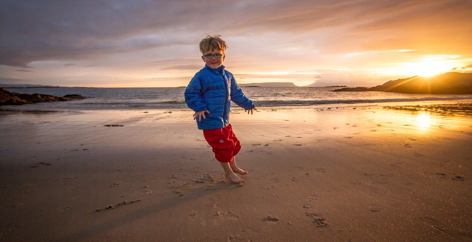
The ferry is late, and I wonder again if the world has ended. But all is well and eventually, the ferry arrives and takes us back to Massaig. It’s raining, and we gleefully splurge on fish and chips before riding to Camusdarach Beach. They let us into the campground there despite being full, and we watch the sun as it sets over the Isle of Eigg and the Isle of Rum.

Distance: 23km on the mainland, 23km on the Isle of Rum
Elevation gain: 300m on the mainland, 340m on Rum
Location: Mallaig to Arisaig, ferry to the Isle of Rum, then ferry back to Mallaig, and a wander down the coast to Camusdarach Beach
Categories
bikes general moosling travel trip reports

Scotland: Skye sky

Both Finn and I dream about his birthday. He dreams he is a ninja and has to fight lots of snakes in our house with his sword, and when he gets them he says ‘heeYAH heeeYAHH!’ And then he gets to eat his cake because he did such a good job. On the other hand, in my dream we’re at the wrong place and nothing is organised and I’m letting everyone down.

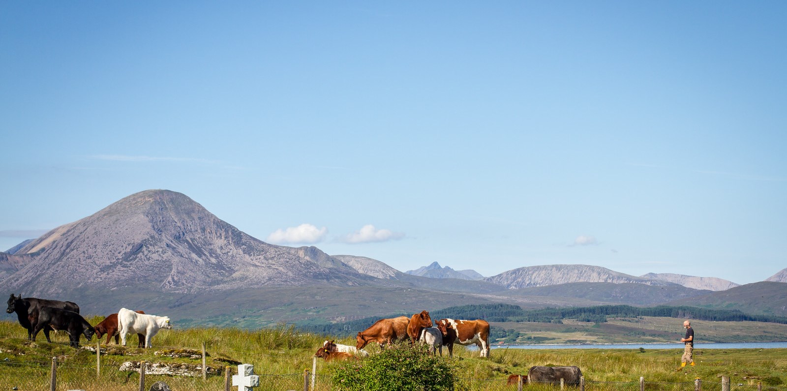
To the cemetery on Broadford Bay, we watch a man in gumboots go to spend time with his cows, and I am reminded of my father.

We wander into Broadford to get coffee, groceries, and more sunshine. Broadford Bay is lovely. Possibly less lovely when overcast and raining. Probably all of Scotland is lovely in the current weather.

Looking at the traffic we decide against taking the A road to head further north. It’s just too busy and narrow. Instead we turn south and cycle down Sleat.

A woman and her father are cycling towards us, and recommend the steep way through Tarskavaig. By the time we get there, the weather is looking threatening, and Alex has tired legs. I bow to common sense, and we choose the easy route.

A few kilometres out from Armadale it starts to rain on us. We cut through some gardens and past a castle, accidentally avoiding paying an entry fee.

A black faced sheep with four fat lambs runs ahead of us on the road.

We pull into the Rubha Phoil wild eco forest garden and campground. It rains. We select a camping spot from the camp pads strewn throughout the forest and along the coastline. Set up in the rain, then cook in the cabana.

There, I find a tick on me. Argh! A tick! Panic! We get it off using the fancy new plastic tick remover device we’d bought a few days before. (This was the only time we got to use it, not because there weren’t any more ticks, but because after this Someone was playing with it and it went mysteriously missing, and there was much wailing and gnashing of teeth)

As it continues raining, Finn and I sit in the tent and eat an entire packet of shortbread, in an act of self defence. #ican’tstopeatingshortbread #somebodystopme #it’sjustsotasty

By then, being 8pm it’s basically late enough to start falling asleep – when out cycle touring apparently we can all easily spend half the day sleeping.

Notable quotes from Finn
“Where are the clouds?”
“Do I like Irn Bru?” (answer is yes apparently… we have our first today, it tastes a bit like creamy soda)

Distance: 33km
Elevation gain: 270m
Location: Ashaig to Armadale (Isle of Skye)

Categories
bikes general moosling travel trip reports

Scotland: It’s all about Skye

To leave Morvich, we were faced with the options of a busy (flat) road, or an old military road (over an enormous hill).

We chose the hill :)

Cycling around the bay, we were surprised to find our old military road was paved. It was quite narrow though, and wasn’t exactly a direct route, so the traffic was minimal and travelling slowly.

It was thoroughly steep, with 15% pitches that had Alex off and pushing. Or just kicking off his stoker, on the grounds he wasn’t pulling his weight.

Towards the top of the hill we stopped to admire views of Loch Duich as a poor truck that was stuck just a few hundred metres from the pass desperately tried to get started going up the hill again. Then there was just a glorious coast down to Glenelg Bay.

We diverted into Glenelg for a tasty eclectic cafe lunch and cakes. Then a quick re-stock in the tiny supermarket (two for one shortbread? Don’t mind if I do!) before short cutting past some old ruined barracks, and back on the road to the ferry.

The small Kylerhea ferry was on the other side when we arrived. For £8 we got a ride over to the Isle of Skye, across the narrow strait. A ferry has been operating there for centuries; it used to be the main connection between Skye and the mainland.

As we pulled away from the ferry, I looked ahead and realised we had another enormous hill to climb. I reminded myself that I like hills, yet was secretly relieved to discover that this one wasn’t quite so long or so steep as the last at least.

At the top of the pass we stopped to lunch, laze in the sun, and collect some extra water from the stream – it was a warm day! We even found a flat snake to show Finn (for educational purposes).

Another glorious coast down toward Broadford Bay followed, Skye is beautiful.

Also, I have realised my son is a hand talker. A good chunk of this trip was spent reminding him to keep his hands on the handlebars, as he kept gesticulating wildly with them at inopportune moments. See prime example in photo below:

On the bay, we reached an interesting looking wild and rambling campground. The sign outside read: ‘TOTALLY FULL!’

We wondered if they really meant it; sometimes they’ll have extra space for hikers or bikers… but inside there was another sign reading: ‘WHEN WE SAY WE ARE FULL WE MEAN WE ARE FULL’.

Well, that was nice and welcoming. Slightly alarmed, we started backing off and planned to head onwards. But the campsite man wandered up, and pointed out the smaller, harder to read sign that reads: ‘EXCEPT FOR WALKERS & CYCLISTS’

It was clear and warm with lots of blue sky. There was only a mild breeze, so the midges were out in force. The campground sells the midge repellant ‘Smidge’, with a little sign suggesting that it “works quite well”. Understated Scottish advertising at its best.

Notable quotes of the day:
“It’s too hot in Scotland”
“Do we have my swimming things Mama?”

Distance: 36km
Elevation gain: 760m
Location: Morvich to Ashaig

Categories
bikes general moosling travel trip reports

Scotland: Spectacular scenery and falling into swamps

Where we went
Through Glen Affric, past Loch Beinn a’ Mheadhoin, along the River Affic and into Glen Kintail, finally arriving to camp in the small village of Morvich, on the west coast.

Notable things we taught Finn
To say “Aye aye” when he’s on the trail-a-bike and ready to start pedalling. Was occasionally replaced with “Argh maties” when he was feeling piratical.

The story of the day
An amazing epic day, that started with a tremendous night filled with sleep, sleep and more sleep. Hurrah for sleep, it makes everything better. We breakfasted at the campground cafe, Finn spent more time hanging out with his campground friend, and we eventually set off. Early mornings were not going to be a feature of this trip.

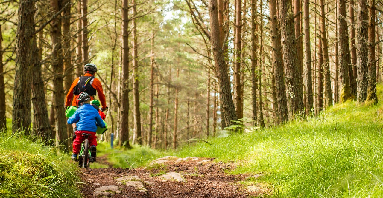
To get into Glen Affric we had to follow the road for a while, but it was narrow and quiet. Then we were onto hikers double track, through mossy open rolling forest, along the shores of Loch Beinn a’ Mheadhoin, past viewpoints, along the River Affric, gradually into the wide and open Glen Affric, gorgeous, quiet and green.

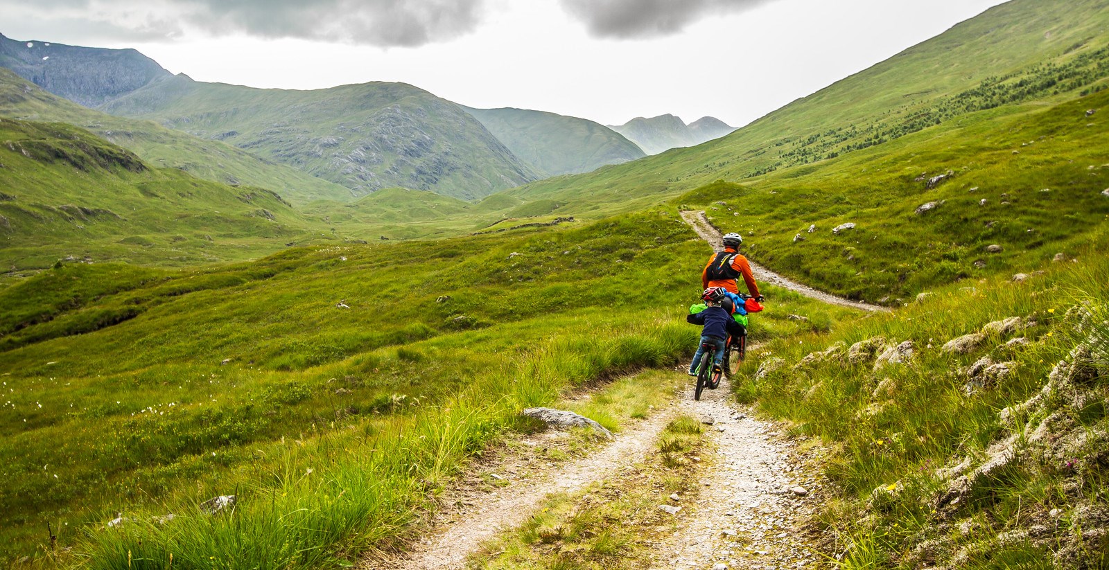
Eventually, the trail started to narrow. And become less rideable. Up until the hostel it’s not so bad, but past there things started to become a little epic (at least for us with the fully loaded trail-a-bike setup). Epic and beautiful! But epic.

The drainage bars along the trail were stones set in the trail, with a gap between them just wide enough that you couldn’t easily ride a loaded bike over it, particularly the trail-a-bike. So Alex would stop, Finn would get off, Alex would lift the bike over, everyone would get back on, and they would ride the 20 metres to the next one. Alright, it wasn’t quite that bad. Most of the time.

The bike then hike a bike went on and on. We were ok. Cadbury’s Crunchie slabs of chocolate are delicious, and I deeply lament the fact they’re not available in Canada. We had plenty of food, and camping gear. We were ok. We pushed on. Still hiking our bikes. Beautiful trail continued. We couldn’t be angry with it, it was too beautiful, and the weather was amazing.

Past the bothy, the terrain was rolling and slow. Then, as Alex got off to push the bike and a half over a stream, Finn tried to cross unaided. The problem with Scottish streams is that they’re surrounded by bog. And Finn hadn’t yet learnt how to differentiate between bog and solid ground. He went straight into the bog, half way up to his knees. Alex started yelling at him: “Go back! Go back! Go back!” Finn stumbled forward, crying hysterically, submerged in mud and looking as if he was about to fall over entirely at any second.

He made it to the other side. Minus one shoe.

After the initial calming, I quickly retrieved the shoe, which thankfully hadn’t been claimed by the bog. We dealt with the mud (for reference, by removing socks, putting on new socks, putting plastic bags over the top, then inserting plastic bagged feet into muddy shoes, because we didn’t have any spare ones for him). Then there was chocolate and everything was fine again.

Gradually, the trail started to trend downwards. I had fun riding a descent, then watching waterfalls as the menfolk picked their way down cautiously on foot. From there we could see sea level, and we slowly made our way down to it.

The drainage bars continued, the trail narrow. Then I fell into a swamp. It was getting late, I was tired, I tried to ride over a drainage bar without putting in the appropriate amount of effort into actually getting across the gap, resulting in hitting the far side wrong, and my bike and me falling down the hill. Into the boggy swampy wetness that most of Scotland seems to consist of when you’re not on a miraculously dry trail. I got myself back onto the trail and started laughing hysterically.

Then, finally, Alex dropped to his knees to give thanks as a clear and unimpeded dirt road appeared before us. It had some sheep and cattle on it.

The highland cattle have impressive horns, but were placid and uninterested us and our bikes.

Through farmland, we cruised into Morvich just as the sun started to set. We were already on the other side of the country, the sea was just there. Sort of.

We cooked dinner eventually. After the first attempt was knocked over, thankfully the second attempt was more successful as otherwise it could have been a hungry and cranky night.

Distance: 49.5km
Elevation gain: 700m
Location: Cannich to Morvich, via Glen Affric
Number of people we saw out on the trail all day: 14 (one solo biker, 12 hikers, 1 lady chopping wood at the hostel hut)

Categories
bikes general moosling travel trip reports

Scotland: Mountain biking with six eggs

At 4am I wake up as Alex crashes about in the tent. At 5am I’m still awake, give in and get up to pee, and it’s already getting light. I wonder if the tent will dry out before we have to pack it up – it seems like a dry and sunny morning. Alex and Finn are snoring.

A little later on, we’re all awake and lying in the tent. Someone comes by and yells out “Hello Australia!” It’s the farmhouse lady; she offers to cook us breakfast and bring it to the tent. It’s tempting, but we decide we should not be quite that lazy.

She gives me six fresh chicken eggs after taking our photo for their new website: “We’re on a thing called facebook”. I bundle them up, but cunningly don’t put them all in the same basket. Three in my front pouch, three in my feed bag. We’re about to ride a rough rocky descent – it should be fine?

We set off along rough roads and through logging areas. Waking up as we climb uphill, then thoroughly enjoying the descent to Loch Ness. Except for the gates. So many gates in Scotland! Not that many sheep or cattle, definitely many many wooden gates that we have to open and close behind us. But the track turns smooth and narrows to single track, and blue sky starts peeking out between the clouds.

Drumnadrochit is a Loch Ness monster tourist town. It’s a bit scary. Scrounging groceries from a convenience store, Finn gets icecream, we get toasties (woo, toasties everywhere in this place!), then we keep heading on up and out of town.

The path we’re travelling along is also one a lot of hikers travel – the Great Glen Way. And we spend a good chunk of today leapfrogging with a couple of hikers. It’s nice and friendly and all, but serves as a humbling reminder of how slowly we’re travelling.

We wander onto a proper car-road to visit Corrimony Cairn. A chambered cairn for collective burials, from the Bronze Age or so. It’s surrounded by standing stones, and the cairn has a central chamber and a crawl through entrance.

Scotland, like the rest of the UK, seems a little wild. Not the wild of mountains and bears, but an old kind of wild, of land lived in forever, with faeries and pixies and other worlds that you could fall into.

Arriving in Cannich, we decide to stop for the afternoon, staying in a highly civilised dry and grassy camprground. This pleases Finn, as it has a playground, and he finds a new friend to play with (a Portugese girl named Alice).

We’re all tired still, maybe we do have some jetlag. Everyone is suffering from lethargy legs. On the plus side, my trick of running my seat low seems to be reducing irritation in my injured left knee, and it’s feeling ok so far.

Oh, and I didn’t break any of the eggs – I got them all to camp safely and we had scrambled eggs for pre-dinner.

Distance: 35km
Elevation gain: 480m
Location: Abriachan Eco Campsite to Cannich