Categories
bikes canada general moosling trip reports

A grand day out

Kat and I hatched a cunning plan – well, she had a plan to hike up Sulphur Mountain. I said I would ride there with the boy, and meet them at the base. She decided to join me for the whole grand outing.

The ride to Sulphur Mountain was in itself quite epic. Getting to Banff takes long enough when you’re towing small children. We made it there, and then had a refuelling stop at Wildflour Bakery (ohh, that place is delicious). There we met Mike and Dwayne, who bravely cheered us on from the safety of the car, as we started the ride up the hill.

And that hill? Up to Sulphur Mountain? I’d never ridden it before, and it’s really quite steep when you’re towing a small boy who doesn’t feel like pedalling.

In the end I was glad he’d decided to save his legs though. As it meant he happily hiked the whole way up Sulphur Mountain once we got there – 655m elevation gain over 5.5km, it was a decent effort.

The older menfolk turned back part way up the mountain, as they had serious business to attend to elsewhere. Or something.

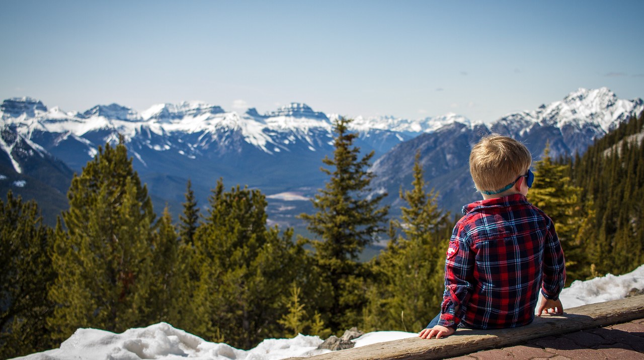
The rest of us forged on to the summit – well, to the point where the gondola takes you anyway, which isn’t the true summit, but close enough. After admiring the view, we caught the gondola back down again – to the great excitement of the boy.

And then ever more excitement, it was icecream time!

And we weren’t even done then! It was time to bike tired boys back to Canmore. Thankfully the return trip on the Legacy Trail is always easier though, and we fairly flew along the trail to be home in time for dinner.

Categories
canada general snow trip reports

Around Mount Rundle

Mount Rundle is awesome – the massive looming presence between Canmore and Banff, with its many pokey mountain parts of no-doubt highly significant and meaningful geological origin. I’ve read about it on numerous occasions, but fail to remember any of the details. I just know it’s a wonderful mountain.

So, Mount Rundle is wonderful. And we decided to ski around it. Well, someone had mentioned to me the idea of skiing around Mount Rundle last winter. I thought it sounded interesting, mentioned it to another friend, forgot I mentioned it to that friend, then she mentioned it back to me. Clear as mud? Probably.

The summary thus far: Mount Rundle is wonderful, and we wanted to ski around it.

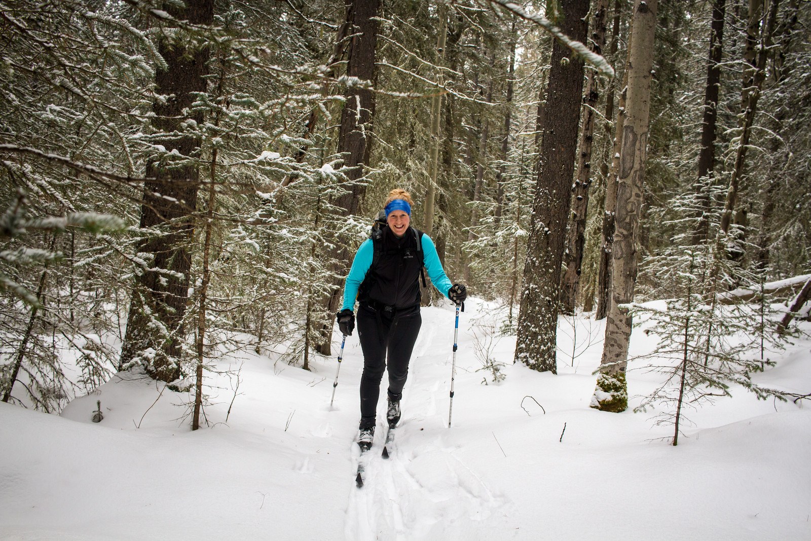
The cast of this adventure was myself, Kat and Sarah. We set out through the Nordic Centre on Sunday morning, glad to be escaping the madding crowds before the races started. Straight out along Banff Ave, slowly slowly on our waxless/fish scale skis.

There had been a couple of centimetres of fresh snow the night before. After setting out onto the Rundle Riverside trail, we soon became incredibly grateful for this extra snow, as the snow cover along Rundle Riverside was incredibly thin in places.

In fact it was so thin that we suspect there was probably bare dirt in some spots on Saturday afternoon. Well, bare dirt, rocks and roots. It’s a good thing I was using rock skis.

On the whole though, the skiing was surprisingly nice. I say that based on the expectation it was going to be a bit horrendous though, so don’t get your hopes up. I think it could be quite pleasant with a little more snow cover though. It’s a nice peaceful section of forest there. Well, aside from the relentless noise from the highway… honestly, it’s mostly quite nice though.

It’s about 5.5km from the daylodge to the end of the Nordic Centre trails, then another 8km along Rundle Riverside before you hit the golf course roads in Banff. That 8km was definitely the slowest of the day, as we started having to alternate skiing and walking.

Eventually though, we did reach the golf course roads, where the marginal amount of fluffy new snow on the roads compacted nicely to be skiable. We cruised along, attempting to accurately identify trees, and pondering what to eat once we got to the Banff Springs. And trying to distract Sarah, whose toe hurt quite a lot after a crash early in the Riverside trail (we found out later that it was broken!).

On reaching Banff Springs, we swung in for soup, coffee, brownies and rehydration. And then Kat and I set out alone up Goat Creek. Which is definitely, and slightly inexplicably, more enjoyable in the uphill/towards Canmore direction.

With actual snow on the trail, and proper trackset tracks to ski in, we made pretty good time, despite the snow starting to stick to my skis like crazy.

We knew it would be windy when we reached the end of Goat Creek, and the weather forecast did not disappoint. Crazy strong gusts and overcast skies. We were intent on at least trying to walk down to Grassi Lakes though, and hopefully skiing down the easy Grassi hiking trail. At least six extremely chivalrous lone males stopped and tried to give us a lift as we walked the few hundred metres to the start of that trail. They mostly seemed to think we were crazy, but we managed to convince them that we had a plan, and didn’t need rescuing honestly.

Once we reached the trail though, we realised our plan would not work today. The trail was covered deeply in blown snow, and looked entirely uninviting. We wouldn’t be closing the loop today. So quickly we got a lift down to the Nordic Centre. Still – a good 40km or so of skiing, and not a bad local adventure.

Distance: ~40km
Elevation gain: ~955m

Categories
canada general hiking snow trip reports

Winter Solstice sunrise

We did it! The sun is coming back! Huzzah to all Northern Hemispherians, the evil Southern Hemisphere is now bound to return our sun to us.

We left town at 6am, and hiked up to the summit of Ha Ling Peak to arrive just as the sky was starting to lighten, at around 7.45am. On the one hand, it was beautiful. On the other, it was very windy (the forecast was calling for 30km/hr, gusting to 50km/hr). There may have been some huddling.

Poor Lincoln was just about freezing to death.

There was some attempted photography inbetween bouts of huddling.

Then the rest of the crew made a brief stop at the summit.

At which point we all decided it was time to start heading down.

As we reached the saddle below the peak, the pink in the sky started to brighten with the sunrise proper, and we took a few more photos before scarpering back down the hill.

The trail is mostly in good condition at the moment – some ice lower down, but mostly packed snow. Two years in a row (three if you count the time I went up the day after solstice) this is becoming a solstice tradition.

Categories
canada general hiking moosling trip reports

Ha Ling peak all over again

It’s been a while since we’ve headed up Ha Ling Peak as a family. This was the last warm day of our prolonged pleasant Autumn. Well, I say warm, it was going to be about 10oC, which only counts as warm when you’re comparing it to -20oC.

But anyway, pleasant weather, must get out and enjoy it, so we decided to head up Ha Ling Peak together, with the invitation extended to whoever else we thought might be kicking around.

And so the Ha Ling Peak expedition began. We’re trying to stop carrying the Boy these days. So this was his first unaided ascent. Of course, he felt he needed to take his own backpack, so he could carry his trains to the top of the mountain too.

It was quite a busy day – we weren’t the only geniuses who’d come up with this idea. And lower down the trail was nice and clear.

Up higher though, things changed. After the first three main switchbacks, the trail started to get icy. We pulled out ice spikers (well, mine are actually Kahtoola Microspikes, and Alex had the Yaktrax Run) but we didn’t have a small pair. After one falling over incident, I started carrying the boy – so that was the end of his first unaided mountain ascent.

It started to get windy and cold (unsurprisingly), and we ended up making the call to turn around at the saddle, after admiring the always-wonderful views.

Then there was just more cautious trip-trapping down the ice, down into the warmth and calm of the trees.

And as we reached the bare ground, release the Boy, and then attempt to slow him down as he tries to run down the mountain.

Categories
canada general hiking trip reports

Tent Ridge, finally!

Another hike we’ve been wanting to do for a while. We considered doing it dressed as pirates (no reason), but in the end went for normal hiking clothes.

It all starts with a lot of slogging up through trees, then up and into the valley surrounded by the horseshoe shaped Tent Ridge.

The boy did a good job of hiking up the hill, with the aid of his mountain climbing stick.

On the top of the ridge (on the east side, we were going clockwise) we stopped for lunch. Then Alex and the boy decided to avoid the scrambly sections ahead, and just head back down again.

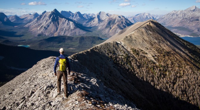
Meanwhile, Lincoln and I headed onwards – straight up and over, the classy line.

Spray Lakes sat in the background, bright blue and full of sharks. We reached the enormous fridge on top of the first corner of the horseshoe, and were terribly sad when we found out that it had no icecream or cold drinks, and wasn’t actually a fridge at all. Or if it was, it was quite hard to open.

The views from the ridge really were amazing. Below is The Fist, which was kind of tempting to scramble.

Rounding the end of the horseshoe involved a bit of scree slogging, and then Lincoln peered over the ridge of eternal doom.

Below is the view back across to the east side of the ridge. And some ridiculous mountains and a very blue sky.

Things got quite talus-y for a while there, and then calmed down into an easy gentle ridge again.

We ran into another group of hikers just as we were about to drop down off the end of the ridge, and so there was a mutual exchange of jump shots.

And then the descent. Kind of muddy, with a few crashes, but otherwise successful.

Distance: 11km
Elevation gain: 750m