Categories
canada general hiking moosling trip reports

A lake full of Helens

Maybe one day I’ll be up to date again, but in the meantime, here is another post finally coming about a month after the actual action.

This day was gloriously warm, and felt more like summer than post-leaf autumn.

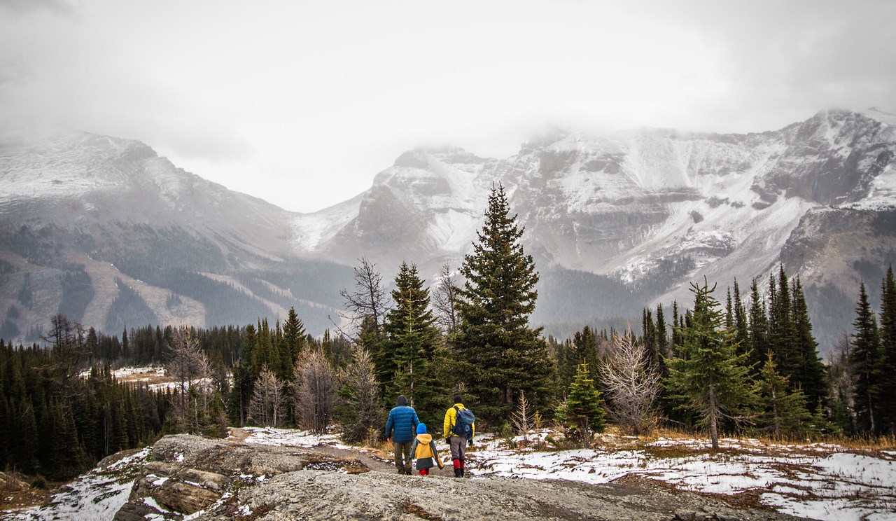
With a visiting grandparent, we decided to get out hiking somewhere different. And for some reason, we’d never hiked up to Helen Lake. It lies just by Dolomite Peak up on Hwy 93 – an area we’d ski toured, but not visited in summer. Which is crazy, because it’s amazing.

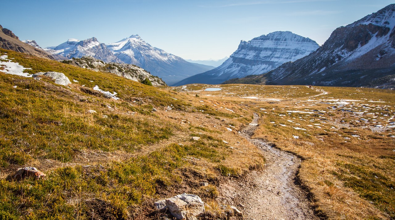
Up near the treeline, views were gorgeous.

The lakes had started to freeze, which just meant there were lots of ice chunks around to throw into them.

We spent some time up there disturbing the peace as the boy gleefully threw ice into lakes.

On the final alpine stretch of trail to the lake there is quite a lot of trail braiding – it’s hard to pick the right trail to walk in.

There was a certain amount of bribery going on as we hiked. We haven’t been doing enough family hikes this summer, which of course we only realised now that summer is over. The boy did pretty well though for a 12km hike with around 420m of elevation gain – but occasional distribution of m&ms and raspberry jubes helped matters.

Dolomite Peak lurks dramatically trailside for most of the hike – looking even better for a sprinkling of snow on top.

My cunning plan after the hike was to ride back to Canmore. It was a great plan, but not as well thought out as I’d imagined. By the time we finished hiking, there was not an awful amount of daylight left.

They ended up dropping me off at Castle Junction, and I rode the 50km or so home. Which didn’t hurt my knee too much!

But the Helen Lake hike is highly recommended, and we’re already working on our hiking to do list for next year.
Categories
canada general hiking moosling

So this is hiking

Given that it was fairly sunny and warm in Canmore, we decided to drive to Sunshine where it was cold and snowing.

There we hiked uphill, where it was exposed, and so colder and windier.

Hurrah! We eventually reached a pass where it was really cold, and decided to go back to the car again, because brr. It’s that time of year where it’s easy to forget that the weather is actually cold now, and underestimate necessary layers.

And so after hiking back to the car, we went and had warm drinks and treats at Wildflour Bakery in Banff, which is always delicious.

And so shoulder season begins!

Categories
bikes canada general moosling

Autumn and the Little Elbow River

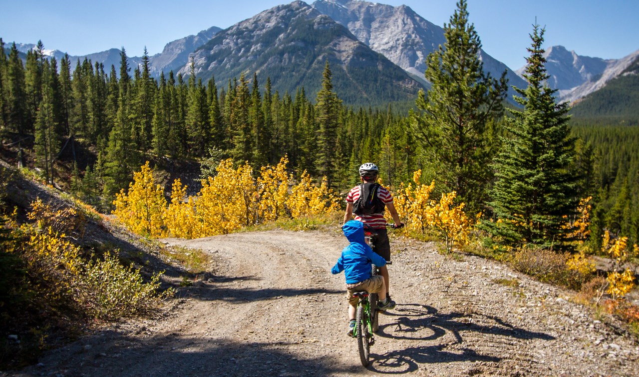
We have been wanting to ride the Elbow loop again for a while now, but with the conditions on the Elbow River side still a little wild, we decided we may as well day trip out and back on the Little Elbow River side. My dodgy knee was hurting after getting over-excited and over-doing it, but with the dirt season nearly done, it was difficult to say no to a bike ride.

That first bridge is still out though. Wading through an icy cold river is better than coffee for a Sunday morning wake up.

We waded back and forth with bikes and offspring, successfully avoiding throwing anyone into the river.

A slow and gradual climb uphill followed. Certainly slow; not always gradual. Yellow leaves and snacks ensued.

Near the high point of the trail we hid our bikes in the forest and hiked out to the Tombstone Lakes. They were certainly lakes, and I wouldn’t hear it if anyone tried to tell me they were anything other than lakes. The fish swimming in them were certainly not an optical illusion. Sadly no photographic evidence of the lakes will be presented at this time.

Then a turn around, we hiked out again, retrieved bikes, and rolled most of the way back down the hill.

Not pictured is the two hours after the last photo was taken, when we were nearly at the bottom of the hill and Alex realised the (new, purchased after our old one died) GPS had come off its mount. He rode all the way back up to look for it while Finn and I played, then Alex came back and was cranky because he hadn’t found the GPS.

Story update: 6 weeks later and the GPS still hasn’t magically turned up. I think we may have to buy a new one :(

Categories
bikes general moosling travel trip reports

Scotland: Corrieyairack Pass II

The bothy was a little chilly in the morning, but still excellent protection from the marauding midges that would have been sucking our blood, given the chance. One thing I won’t miss about Scotland is having to pick dead midges out of my eyes.

We got going by 9am, after an underwhelming breakfast of seed bread that had disintegrated entirely under the pressure of bike bag storage. The menfolk left it to me, opting to eat more structurally sound breakfast material themselves.

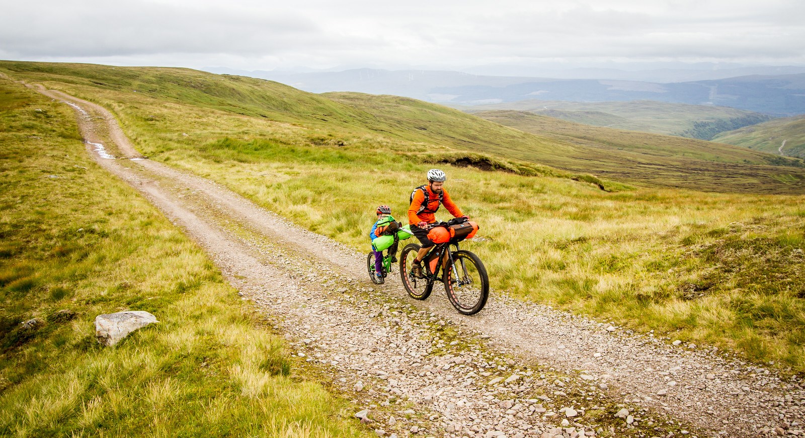
The climb up towards the pass from the bothy was steady, and mostly unrelentingly uphill. Steep enough to be challenging to ride loaded, but mostly not impossible.

It is an ugly valley though. The powerlines are enormous, and scar the landscape with their accompanying road. The land around them just hasn’t recovered. The windfarm sat behind us – and there’s a quarry in there too.

The sky was grey today, despite a tease of blue showing through the bothy window when we woke up.

The summit has an old concrete bunker of a hut, with a padlock on the door that’s nearly worn through from the wind blowing it back and forth. It was cold and breezy, so we took just a few photos, then headed on and down.

The descent switchbacks were rough and loose, invoking debate on the best way to ride the pass. We’re in favour of the direction we did it in, but admit to being driven a little insane by the endless drainage rock bars on the way down. They’re not as bad as the ones on the Glen Affric-Kintail section, but they still force a slow and cautious descent.

Then somehow, we were onto a narrow sealed road, although still at quite a high elevation. Still haunted by powerlines. It was mostly flat or gradually downhill, and we covered ground quickly as we moved into crofting territory.

The first town we reached was Laggan. We sat around in the little store there, charging our phones, eating cheese toasties, glorying in the delights of warm running water, and then checking out the quality of their playground infrastructure.

From there it was onto cycle route 7, but then a detour through Feshiebridge (partly because a bridge was down, and partly because it has an excellent name). Slowly onwards, back onto cycle route 7, through forest on a narrow single lane road, and into the Cairngorms to finish up a very long day.

Coming into the Cairngorms, the cycling network exploded, and we met hoards of mountain bikers. Our campground had lovely showers, lacked in phone charging stations, but made up for it in being full of other people on bikes. This was our tribe.

We debated how to spend our last day. An unloaded ride around here? Catch a train down to Edinburgh? In the end we let inertia decide, waking up to uninspiring weather and tired legs, we paid to camp for another day, and spent a day in nearby Aviemore, glorying in delicious cafe meals with dessert. We ate a meal, then browsed around town long enough to justify eating another meal. Repeat.

Oh, and the Mountain Cafe in Aviemore is highly recommended – check out the cake selection! That’s not even all of their cakes, and the food was also delicious.

Distance: 74km
Elevation gain: 780m
Location: Blackburn Bothy (Corrieyairack Pass) to Aviemore (in the Cairngorms)

Categories
bikes general moosling travel trip reports

Scotland: Corrieyairack Pass I

Corrieyairack Pass is a 770 metre high pass in the Highlands, and is known in a large part because of the military road built over it by General Wade during the Jacobite Risings in the 18th century. These days the road isn’t in great shape, but is relatively popular with hikers and cyclists.

Corrieyairack Pass was where we were headed tonight. But first, up we were headed north along the canal route, and the shores of Loch Lochy (really? were they running out of names). Undulating dirt road through mossy forest and enormous trees, forest camp sites, rope swings, ferns, flat tyres and on to Loch Oich.

We travelled alongside Loch Oich on a wildly civilised rail trail, complete with tunnel, before continuing along the Caledonian Canal.

Technically we’d been following the Caledonian Canal since we left Fort William, but this was one of the man-made sections connecting the Lochs.

Drawing close to Fort Augustus the trail was being resurfaced with an odd compacted grey stone and powder mix – it felt like a cement asphalt, but was just being laid out and compacted to set it. It was very smooth to ride on, and now I’m wishing I’d quizzed the contractors about what exactly it was. And now I feel like a massive trail geek. At least I’m not bringing up my thoughts on signage in Scottish towns.

Until we reached Fort Augustus the day had been quiet and peaceful and pleasant, with barely another person about, except for the crew of folk who were employed along the canal, opening bridges and such.

Fort Augustus lies on the end of Loch Ness, and so was swarming with tourist traffic. We lunched, resupplied, sat on the ground outside the shops and had a second lunch, ate icecream, then disappeared on our wild dirt roads and left them to their Loch Ness monster tours and stuffed toys.

The initial turn off Ardachy Road onto the Corrieyairack Pass climb was wildly overgrown with vicious prickly bushes, while a nice clear dirt road was 50 metres away, but guarded by the power company that was busy running around erecting enormous towers. The start was fairly challenging, but after a few hundred metres the evil bushes disappeared, and we were onto an open dirt road of our own, slogging uphill steeply.

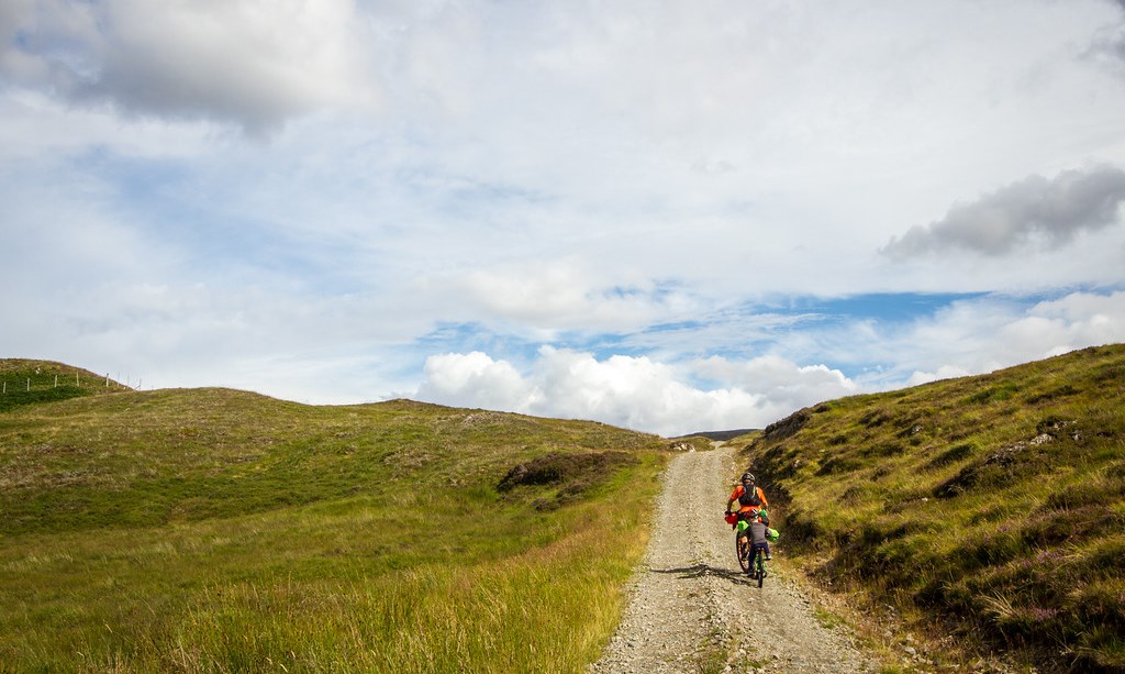
It was steep climbing, but very rideable. Even loaded, I managed to clear every hill on the way to the bothy… but some of them were only just.

The midges at the bothy were ferocious. Stand still for a second and you’ll be black with them. There were also ticks living in a particular clump of bushes near the bothy. I managed to walk through it a few times before working out which area to avoid if I didn’t want to be picking 10-15 nymph ticks off me. We all ended up with ticks embedded today, and ended up resorting to improvising tweezers with two USB cable plugs, following the mysterious disappearance of our fancy new tick remover.

Random facts: Like a lot of the trip, today we were on both the Great Glen Way and the Highland 550 bikepacking race route. And there was quite a lot of good informal camping along the canals and lochs we rode along today, with signs at the locks to let you know where you can camp. And there was a decided lack of wildlife, which seems to be the theme of Scotland.
Quotes of the day from Finn: “Aeroplanes are boring for me Mama.” “Are we nearly in Banff?” “I’m five!” “I AM pedalling!!”
Distance: 49km
Elevation gain: 700m
Location: Moy Bridge – Fort William – Blackburn Bothy (Corrieyairack Pass)